Skip reading & jump to the PICTURE GALLERY

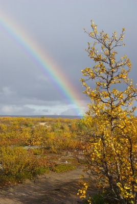
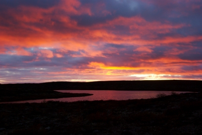
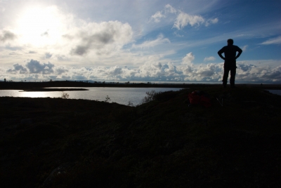
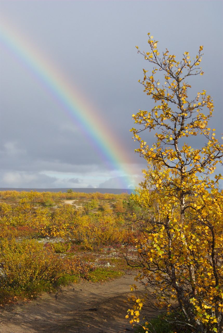
When I joined some friends for the hike from Pallas to Hetta, ruska (the Finnish word for autumn) just started in Lapland, and the first trees changed their colors. I took note of that fact with lots of satisfaction, as in the first half of September a long planned hiking trip through the Pöyrisjärvi wilderness area was laying just ahead of me. Or actually of us, as we were a group of 4 people all together, who jointly wanted to walk from Kalmakaltio (via Pöyrisjärvi) to Hetta. Approximately 150 km on foot, with heavy luggage – including tents and food supply. It turned out, that we were pretty lucky, since our trip fell right into autumn. Since this has been a rather cold summer, the first freezing nights in August helped to turn the landscape into a color- and thus most beautiful sight.
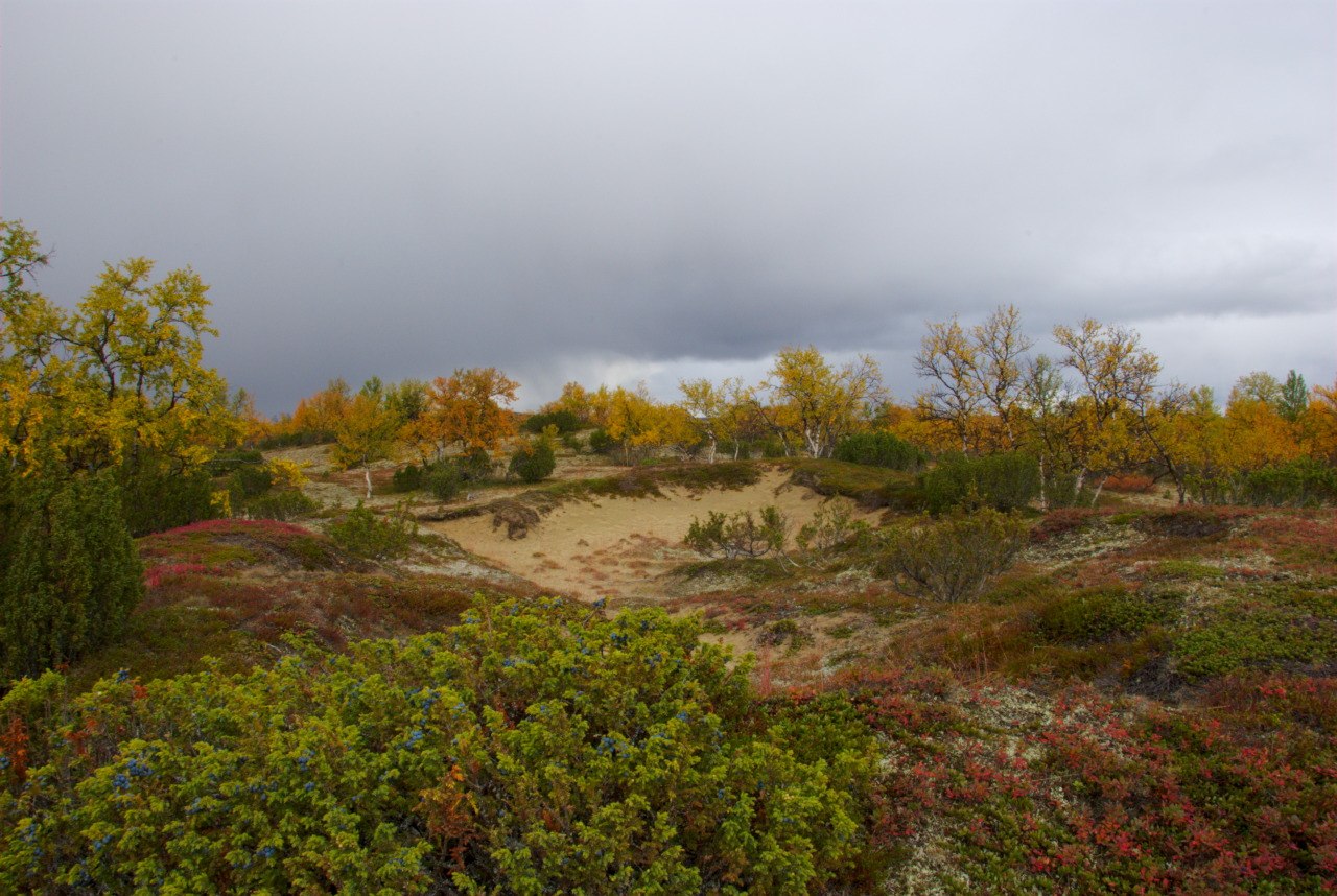
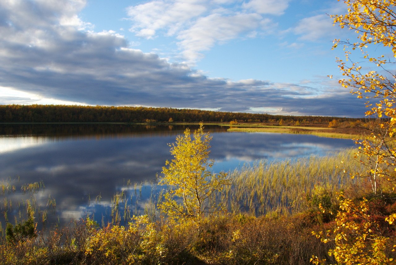
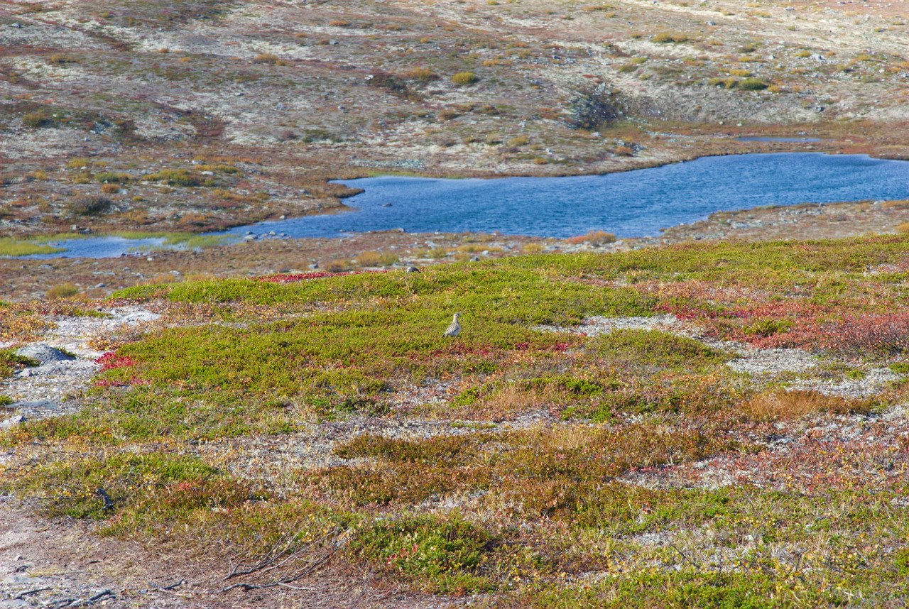
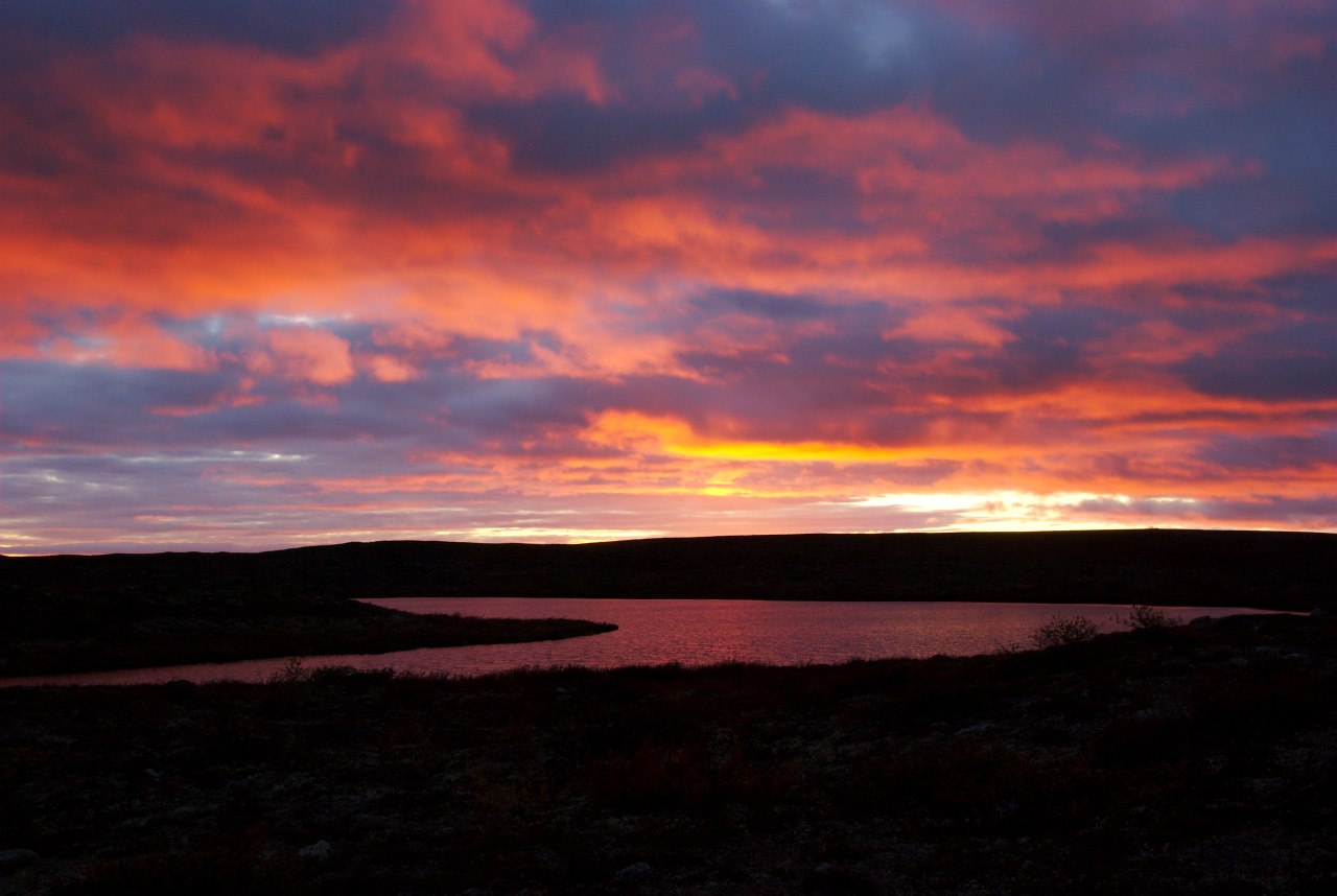
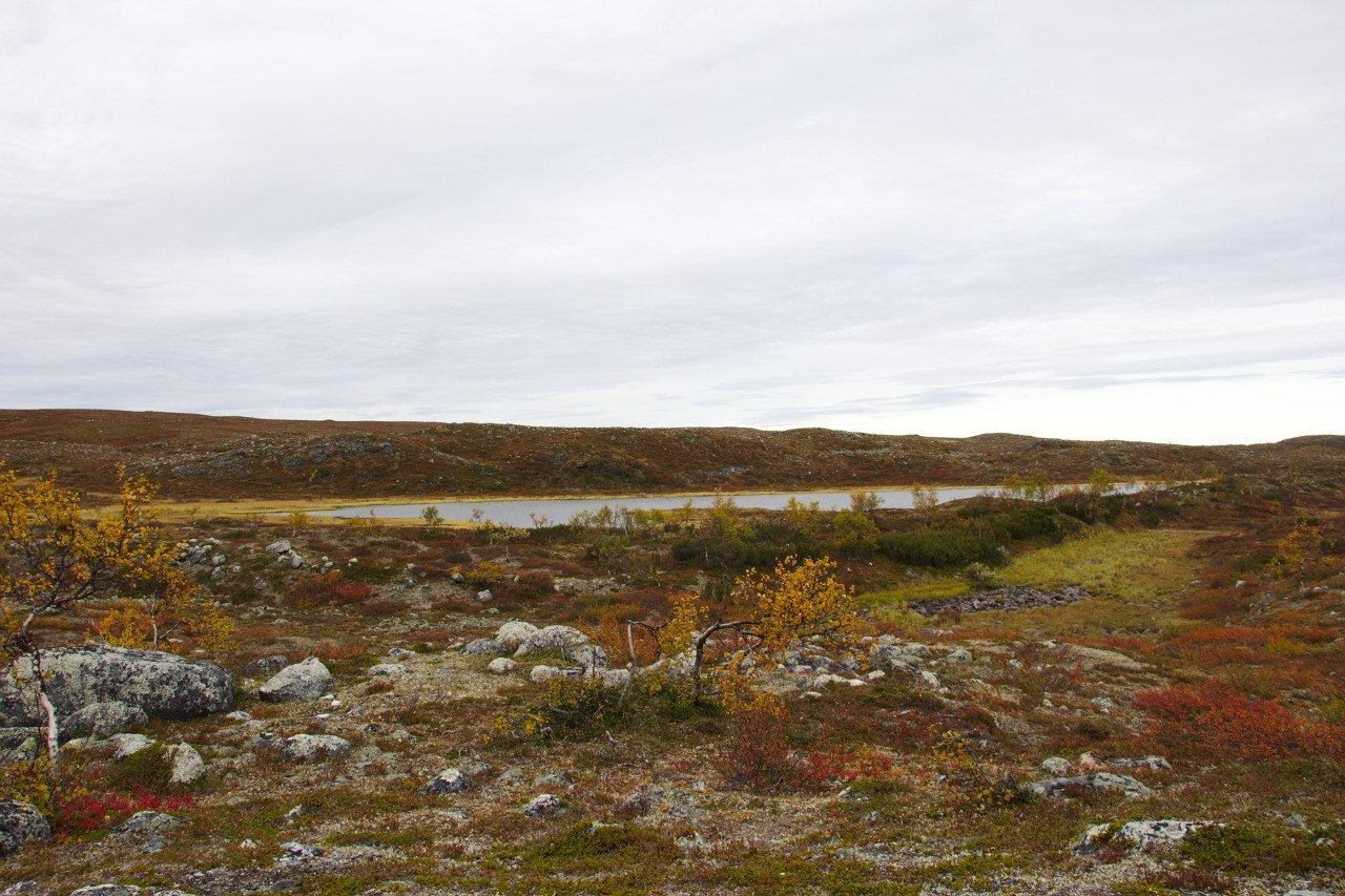
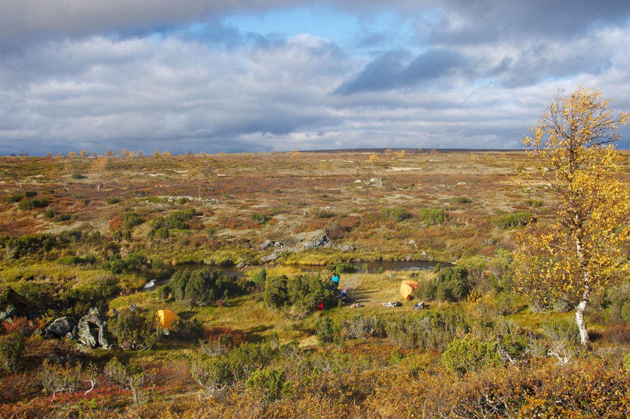
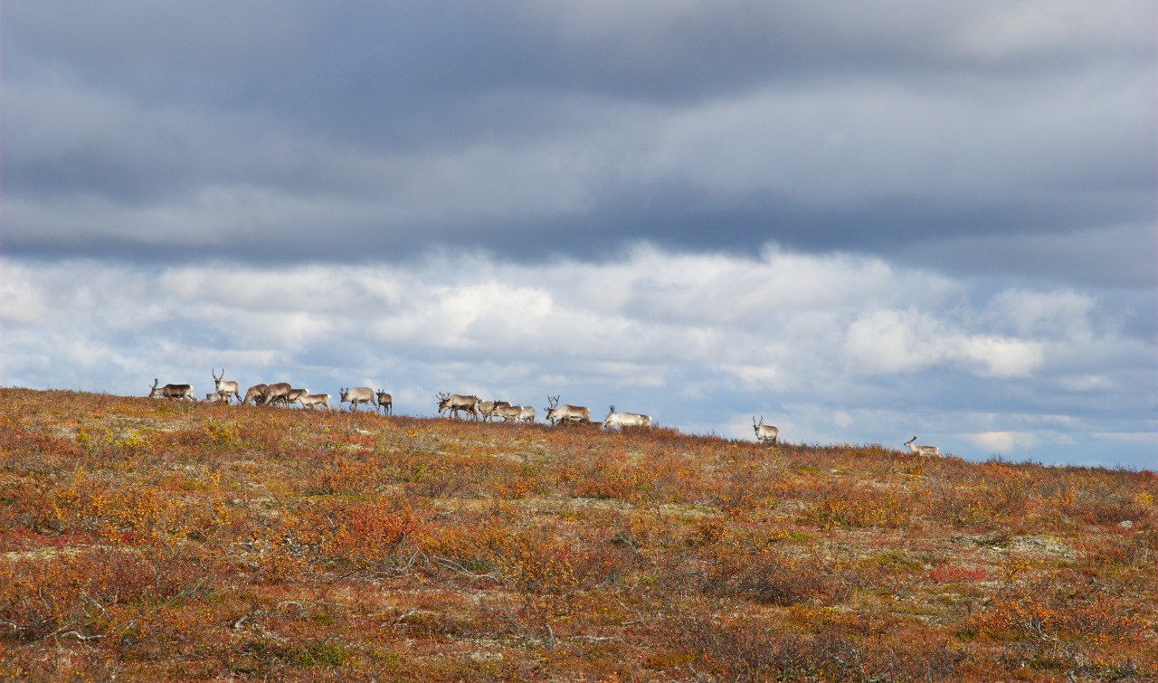
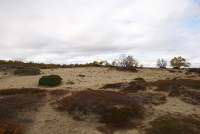
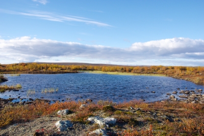
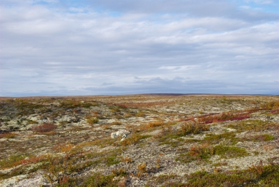
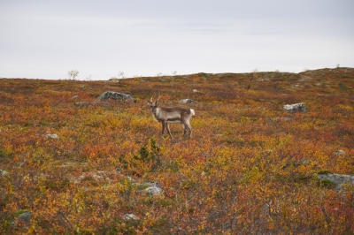
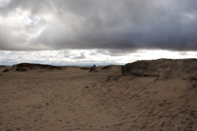
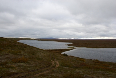
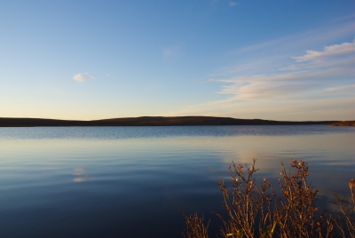
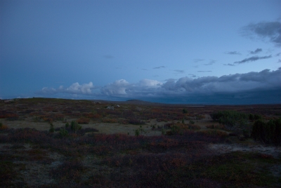
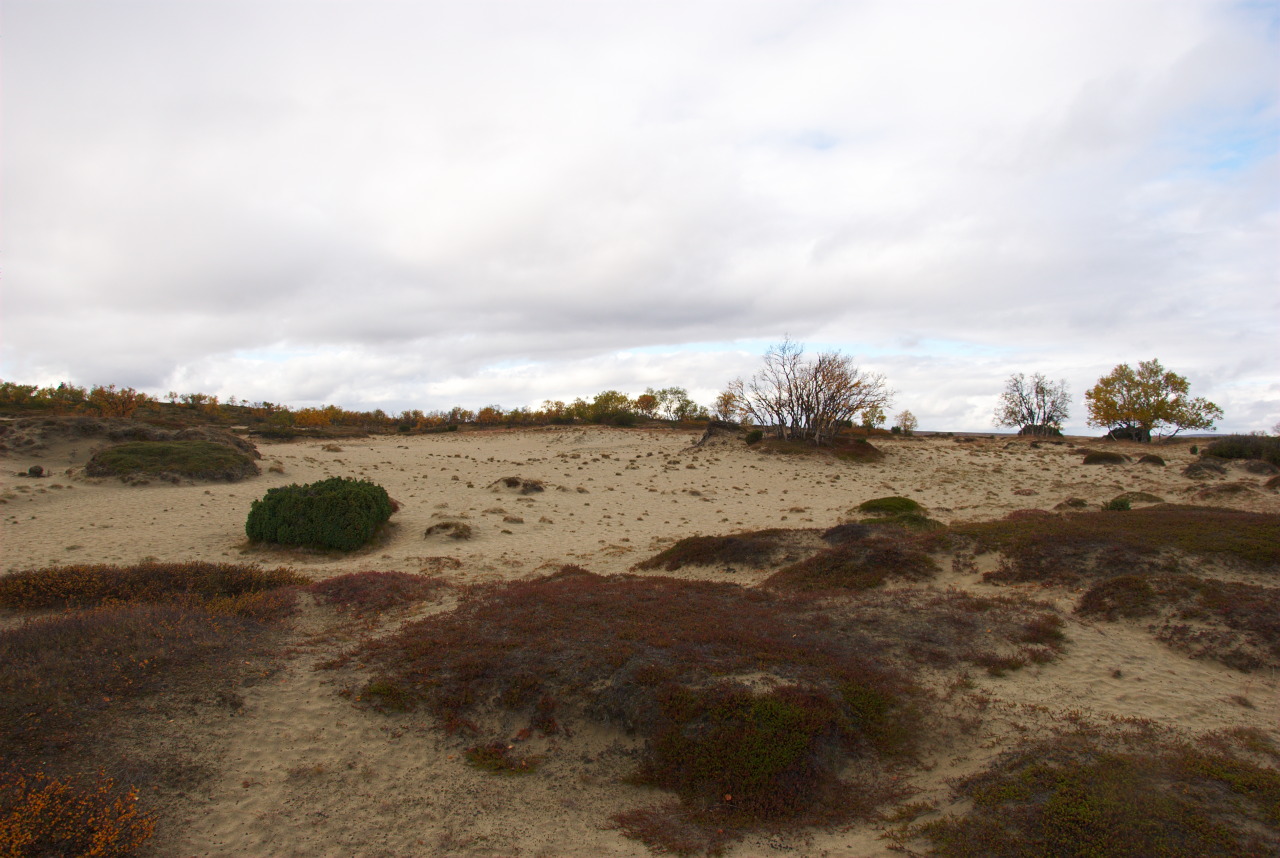
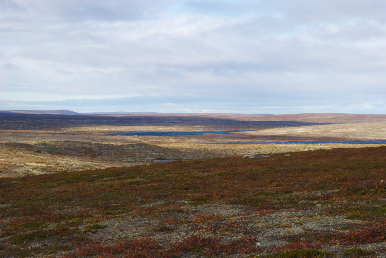
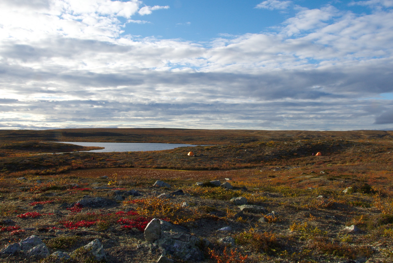
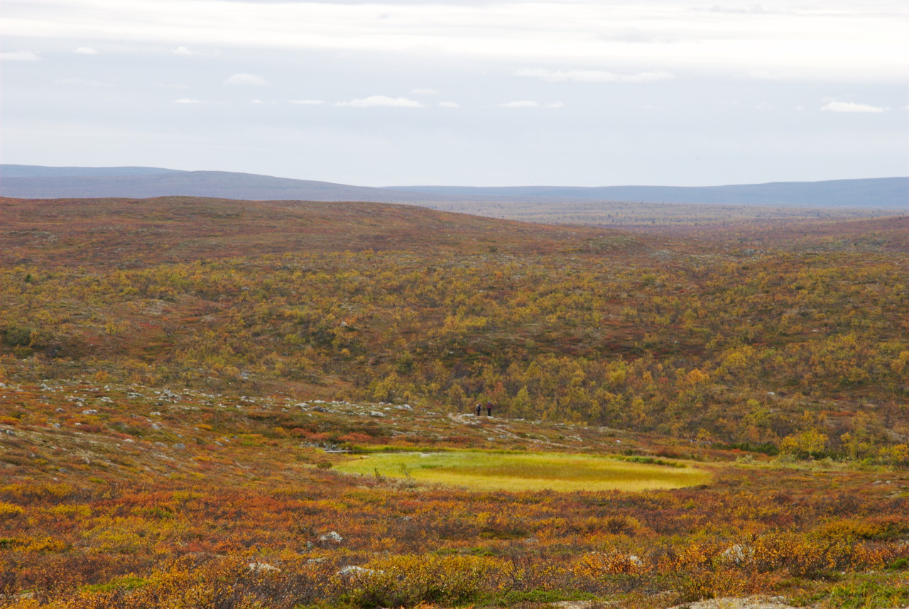
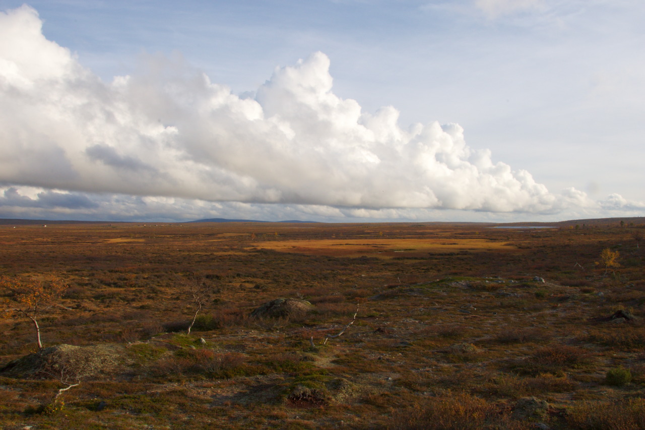
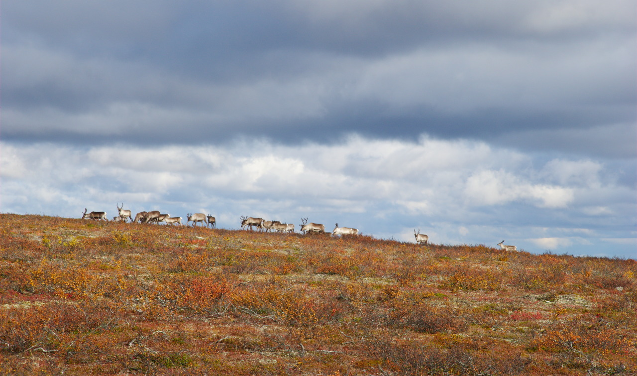
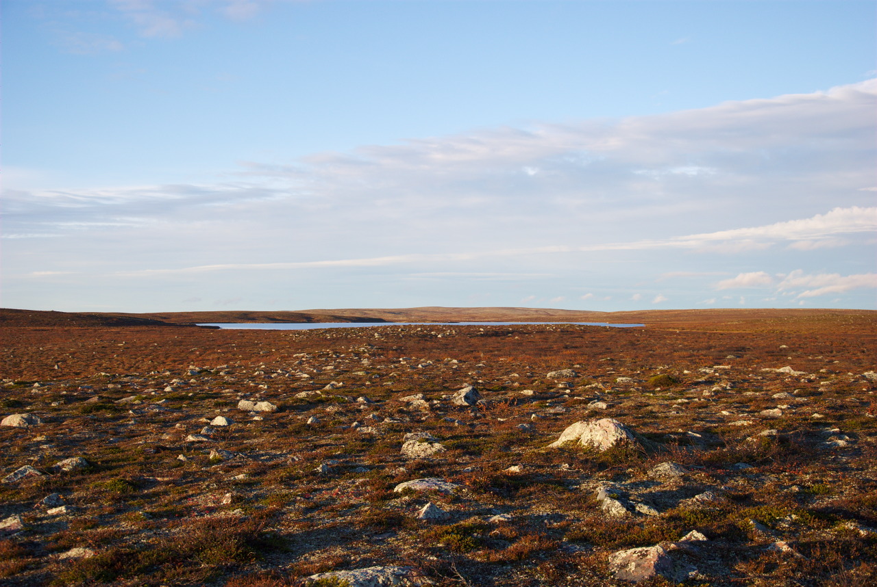
Ruska in Kalmakaltio: The Start of the Hike

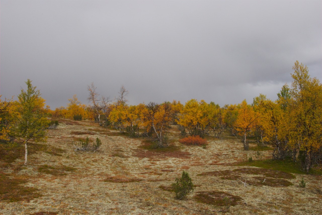
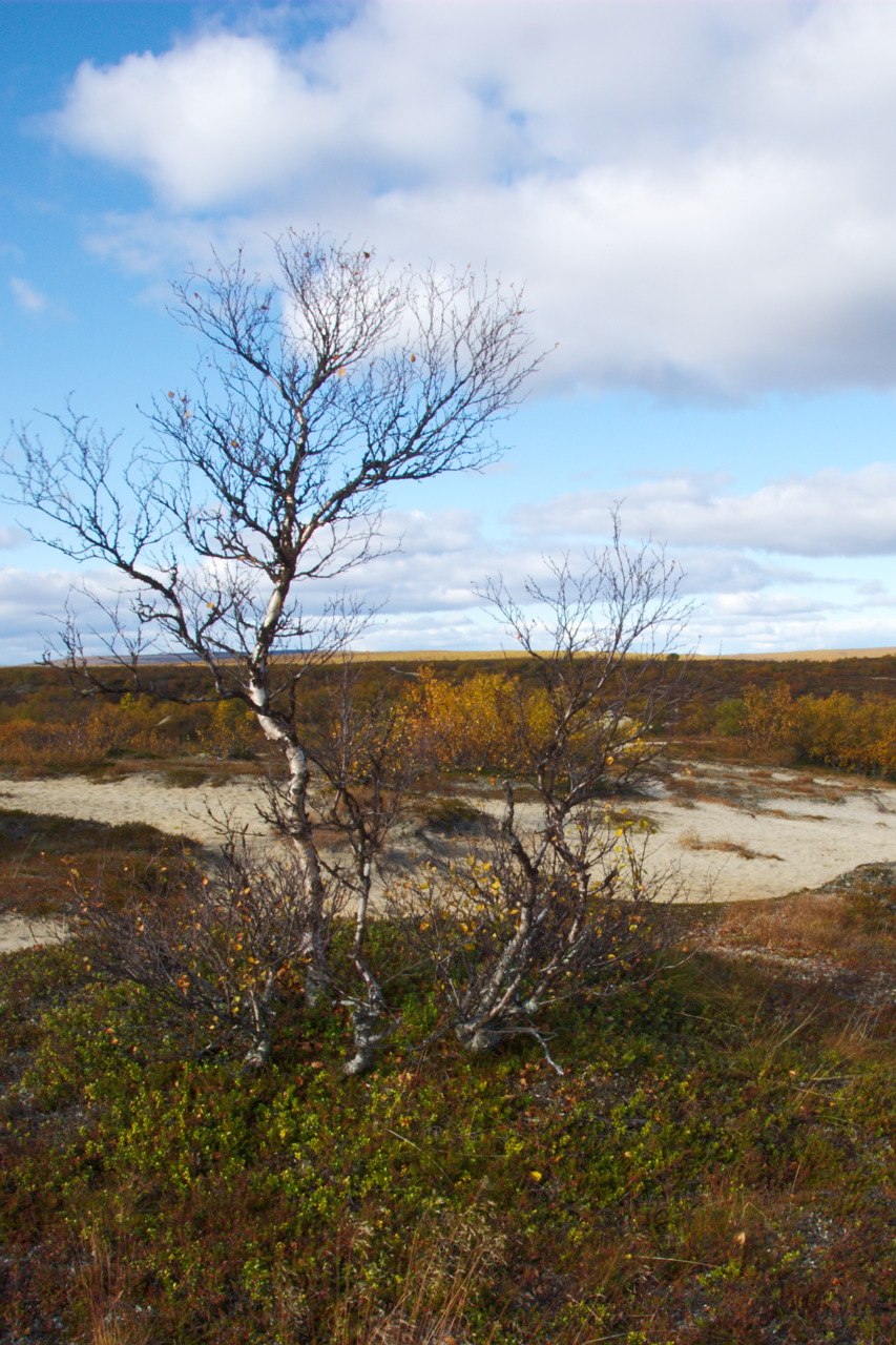
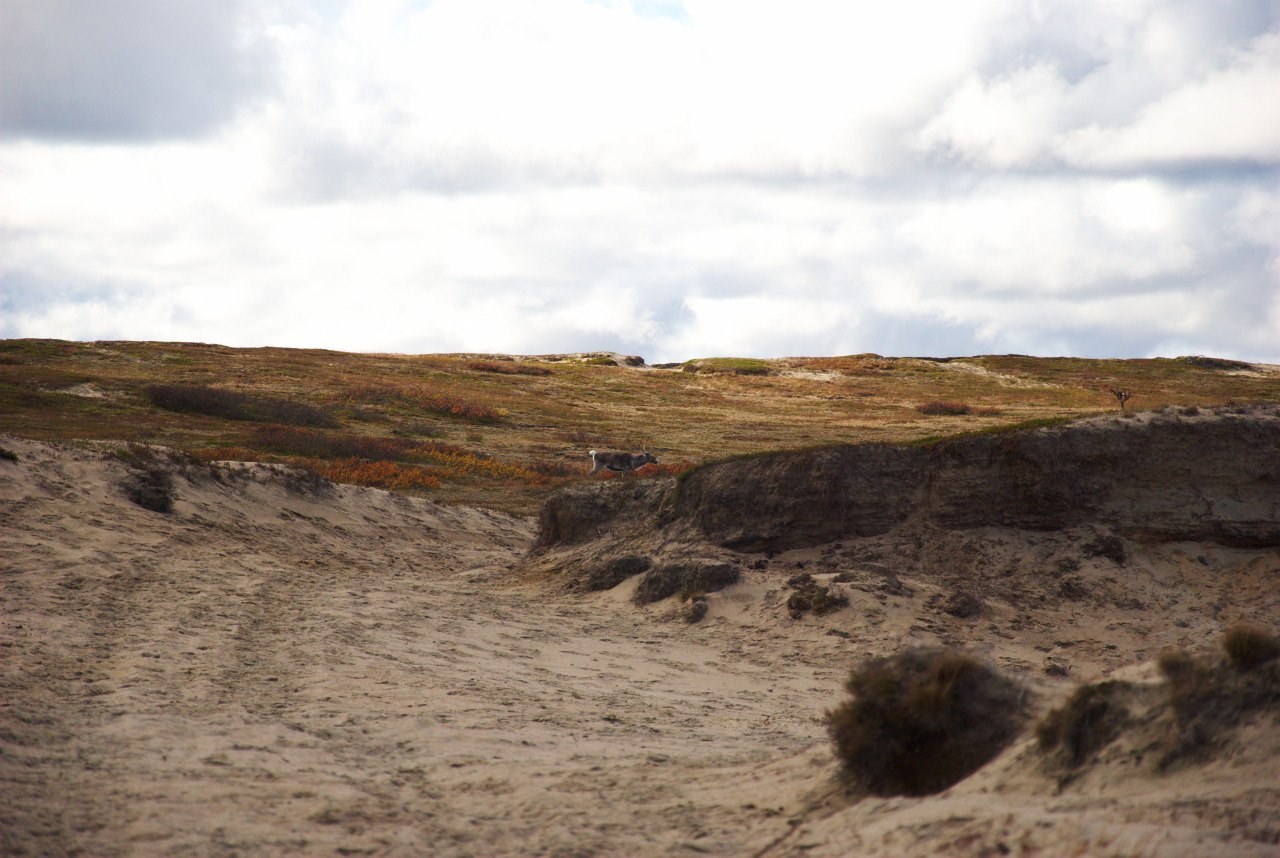
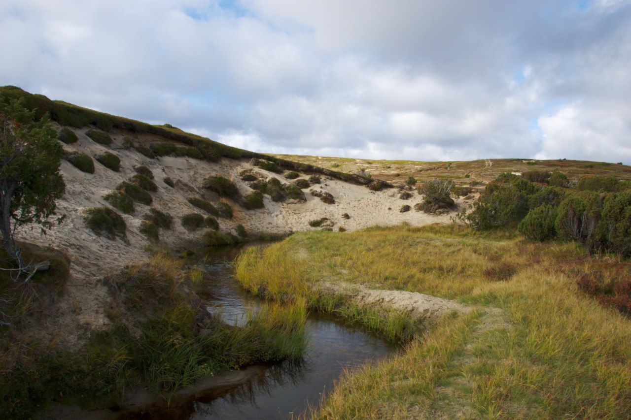
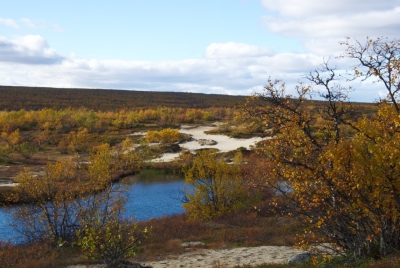
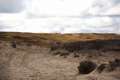
The Pöyrisjärvi wilderness area is not completely lacking trails, since an old post route crossed this area and also reindeer herders with their quad bikes have to get around. Basically there are two trails crossing this wilderness area, which (starting from Kalmakaltio) divide after the autiotupa (= open wilderness hut) Naltijärvi, which was our first day target. Surprisingly we did not find the Kalmakaltio autiotupa, even though the trail should go just by it. Later, we thought, it might have been in that place, where 2 huge tents were standing; nevertheless, we didn’t figure out what was going on there or why we didn’t see the hut. In Kalmakaltio area we passed by some active sand dunes, which was one of the things we were most interested to see during this hike. The nature is very fragile, the layer of soil pretty thin, and the absence of the same reveals fine-grained sand, often forming dunes with sometimes some vegetation on top of it.

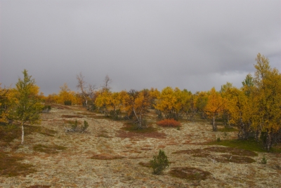
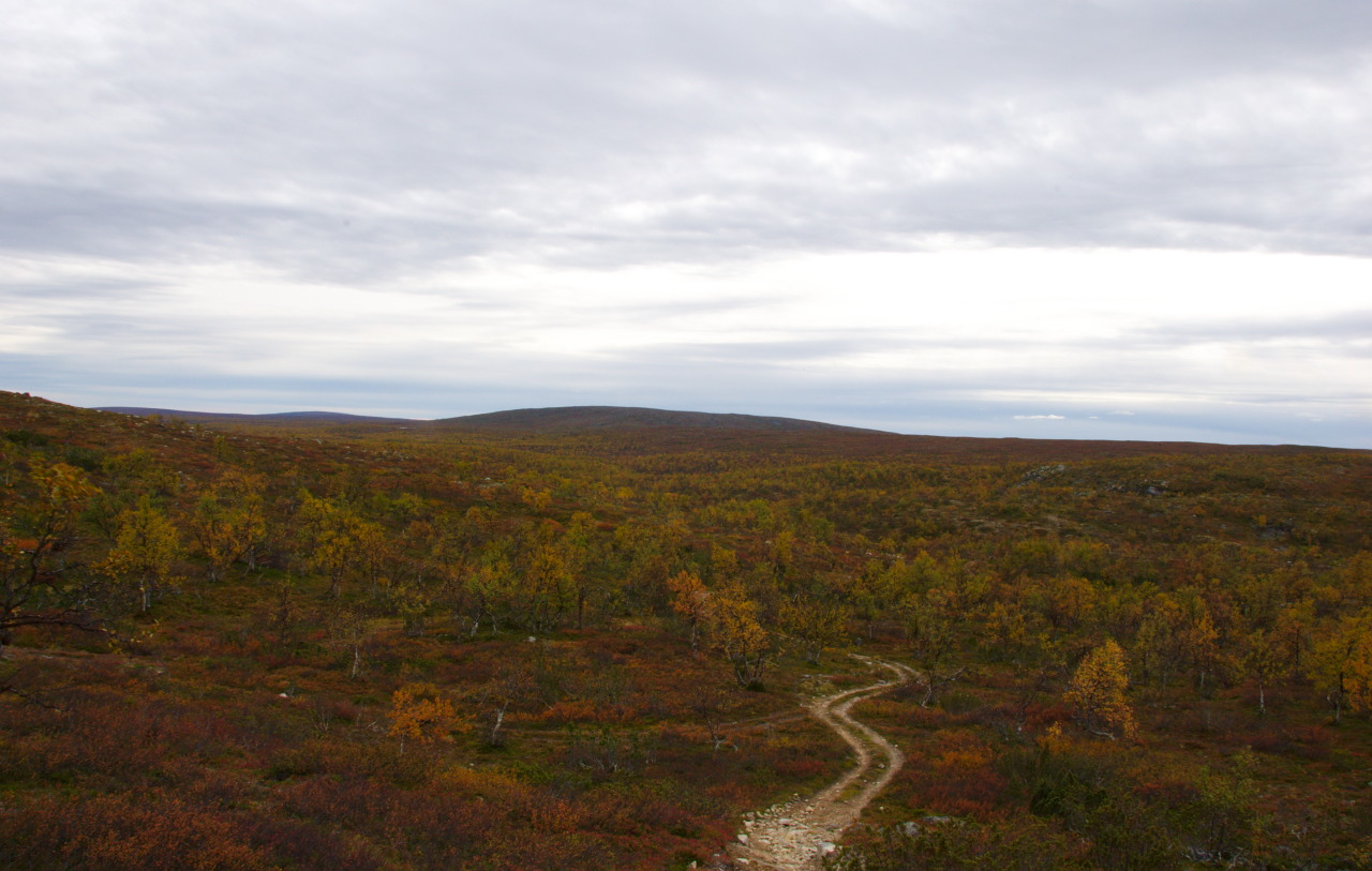
Where the soil has allowed plants to grow, the numerous and extensive growing lichens made place for some shrubs, which are surrounding plenty of trees, but almost only birch trees and with quite some distance between them. As said, the already happened arrival of autumn laid the landscape, especially the birch trees but also other shrubs, into a wonderful dress of yellow, orange and red colors. Even though the trail is not marked at all, it is very easy to follow, since it is clearly visible in the terrain and also used by quad bikes. The path is also accessible with bicycles, however the thick layer of sand, of which the trail is consisting, certainly will make it exhausting to use these two wheelers. Anyhow, this time we were walking, allowing us to have plenty of time to watch the wonderful landscape, while putting one foot after the other. Even though for the first day, the distance made us pretty tired until arriving at the autiotupa Naltijärvi, the thin forest, with plenty of lichen between the individual trees, looked like a highly maintained park area in front of some luxury villa. Just much more beautiful.
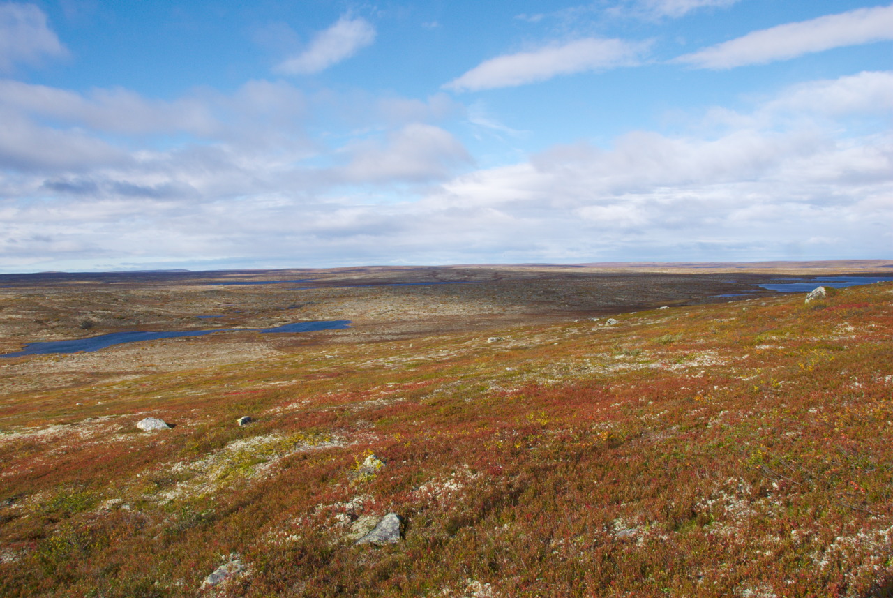
From the Forest Into the Tundra

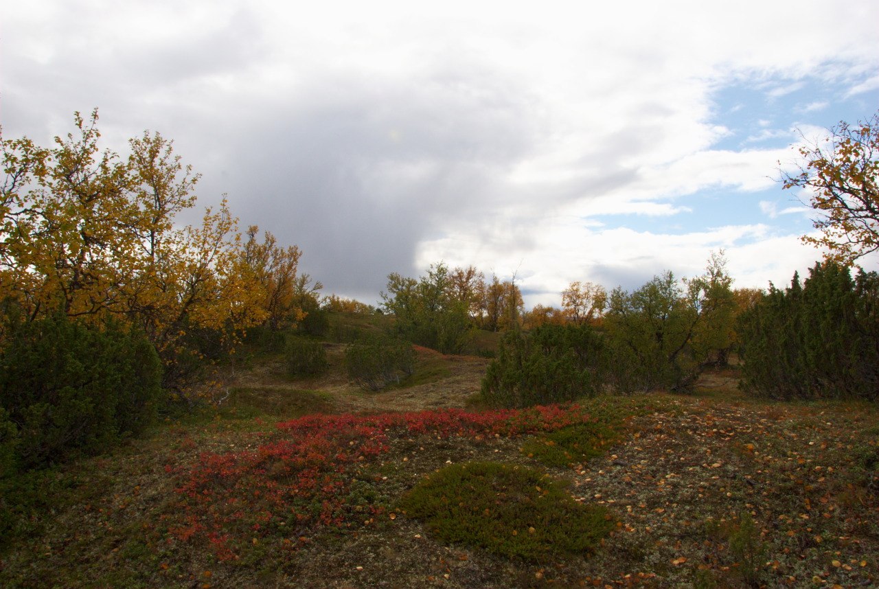
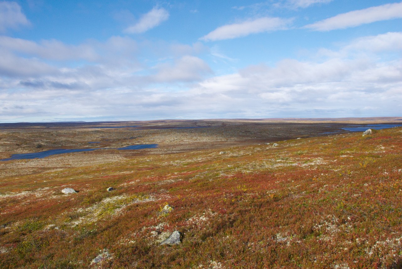
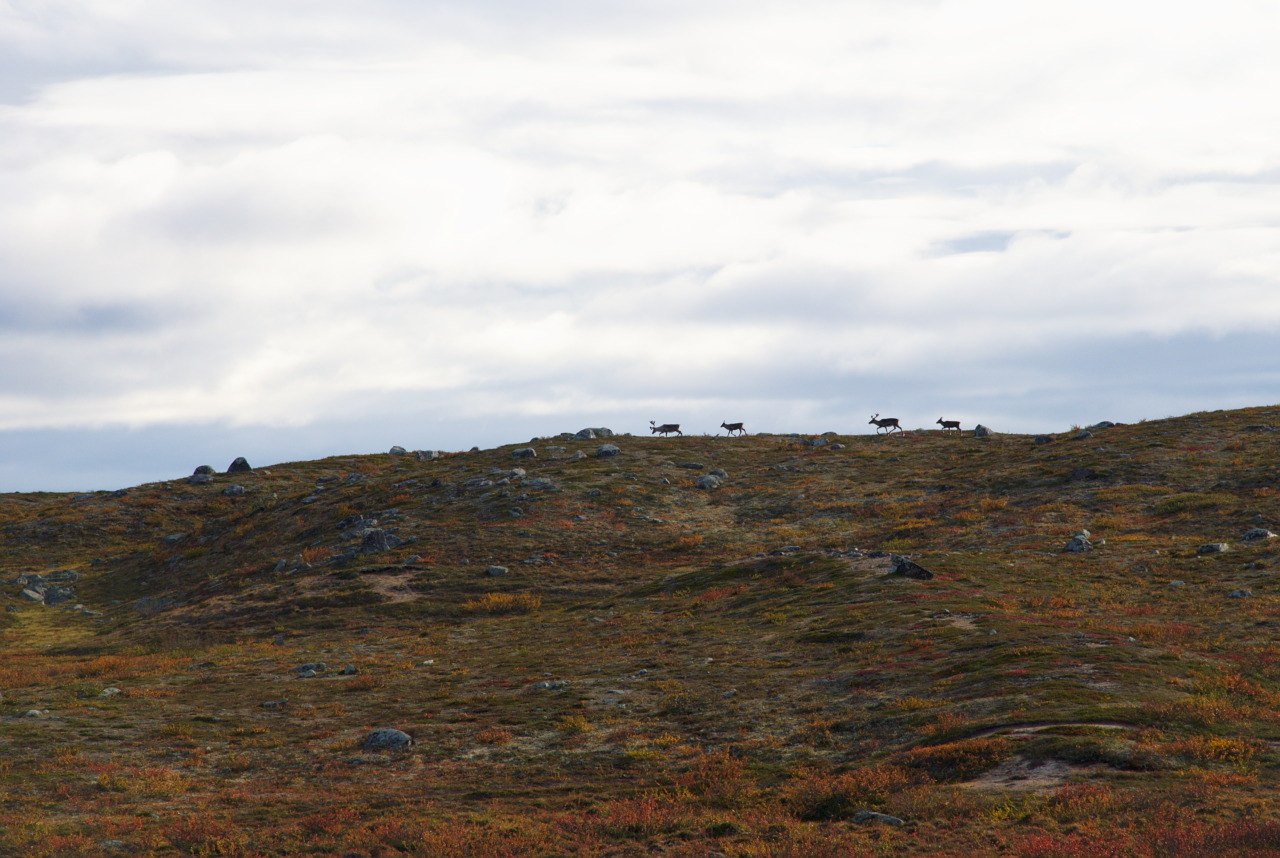
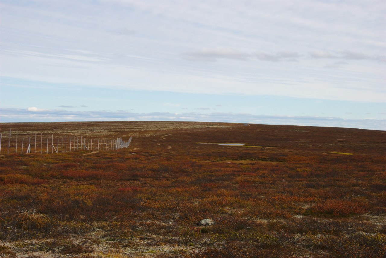
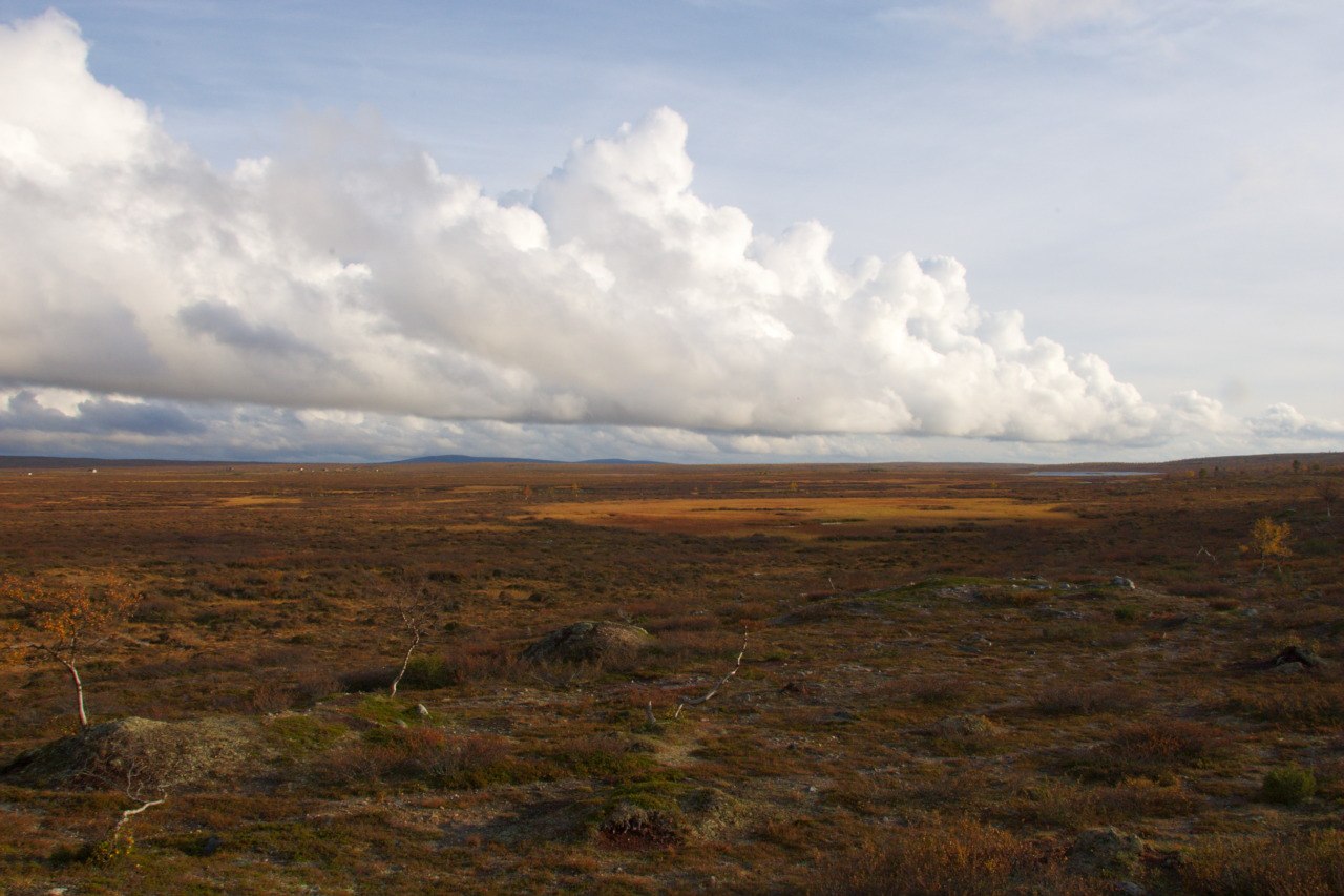
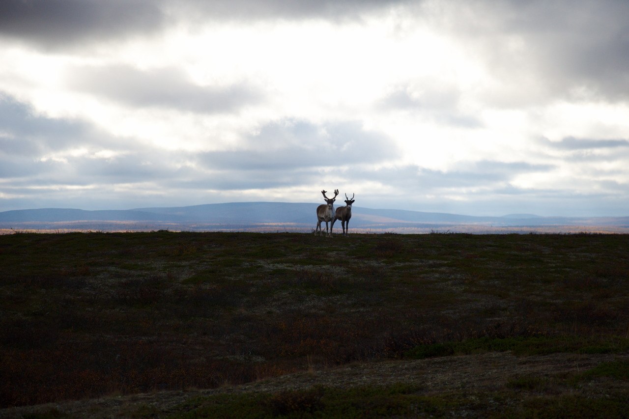
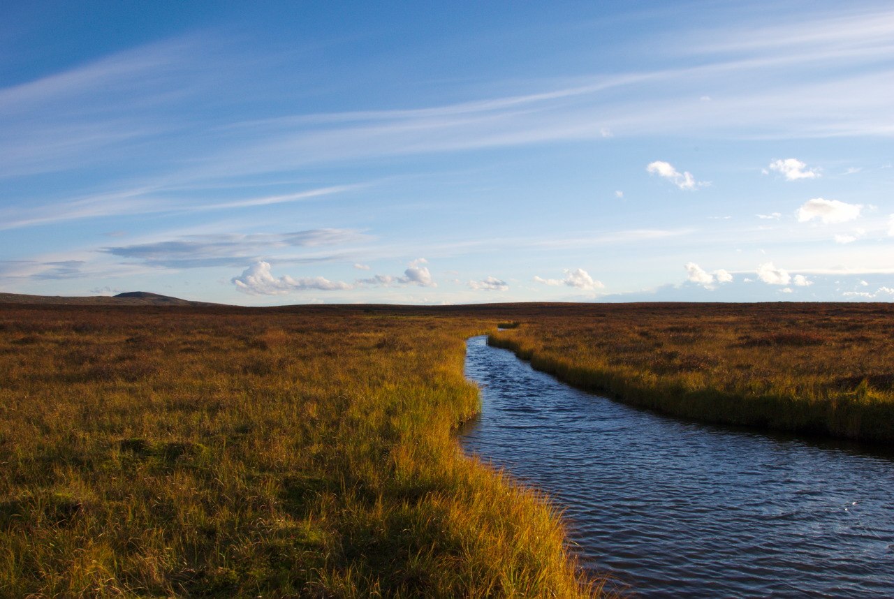
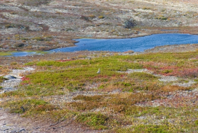
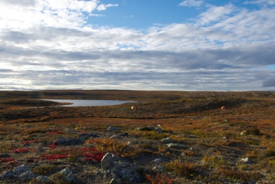
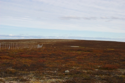
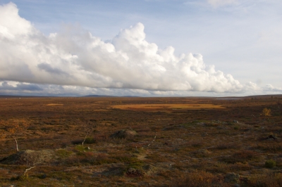
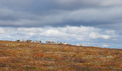
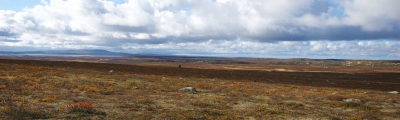
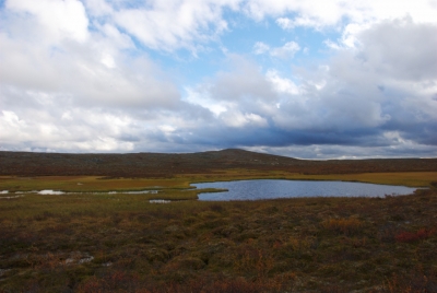
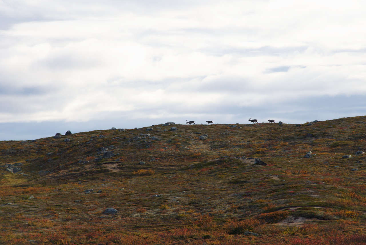
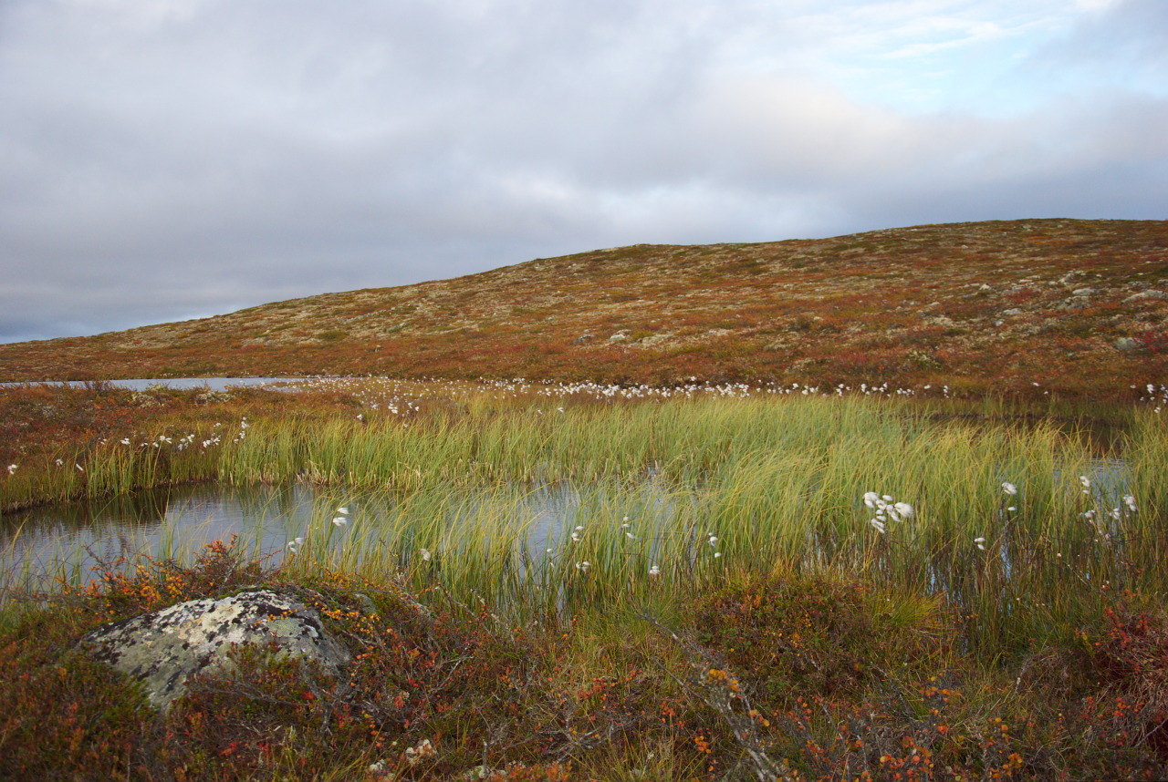
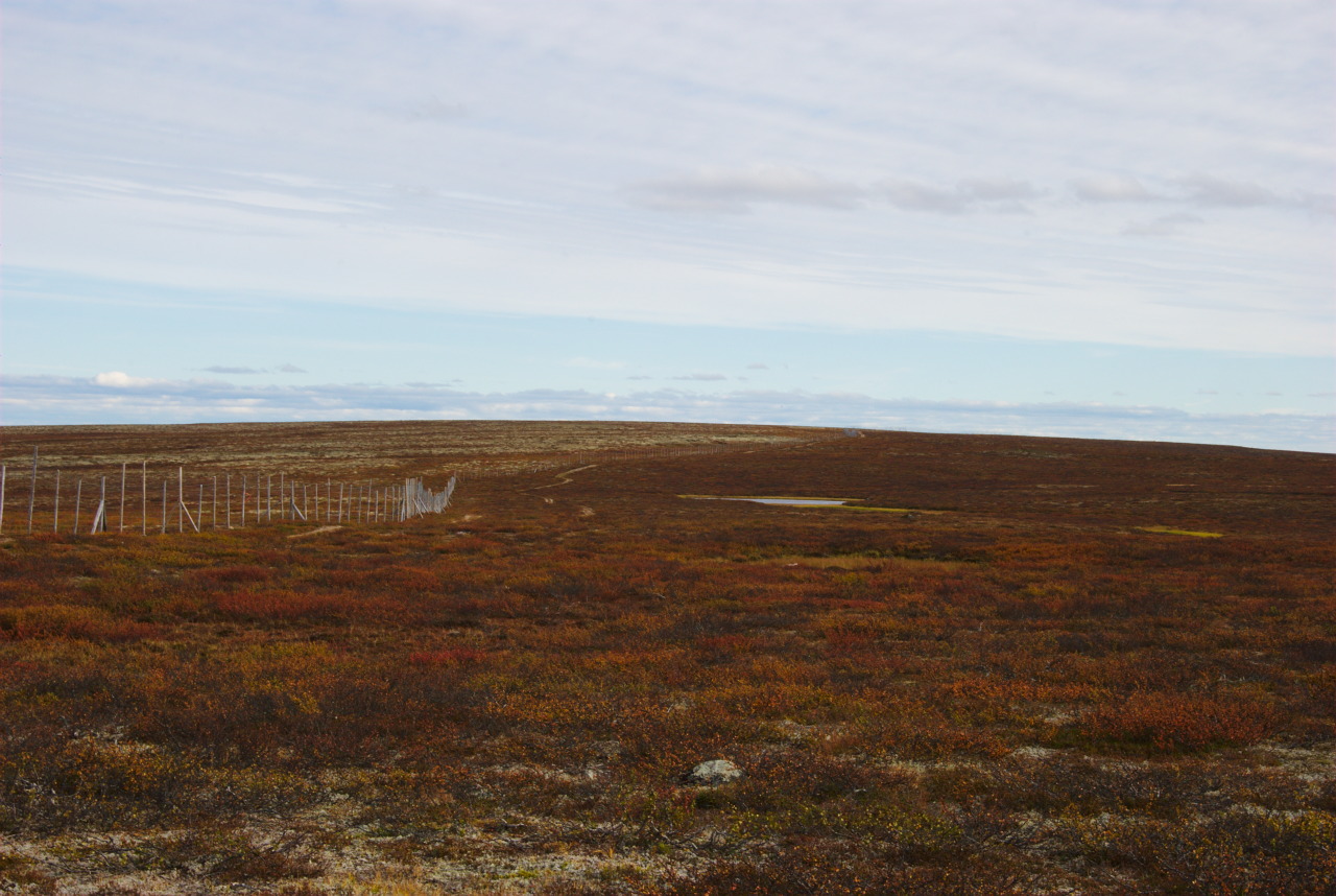
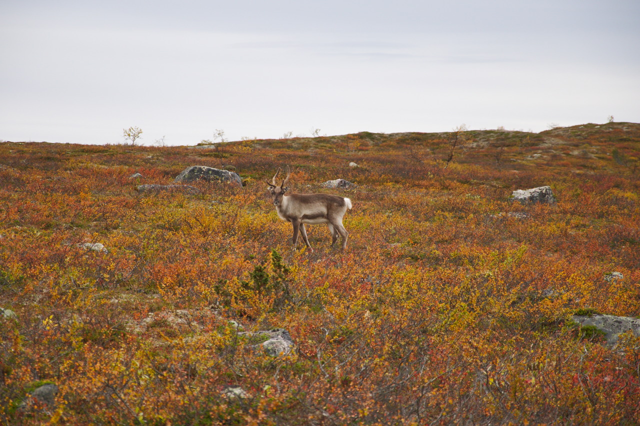
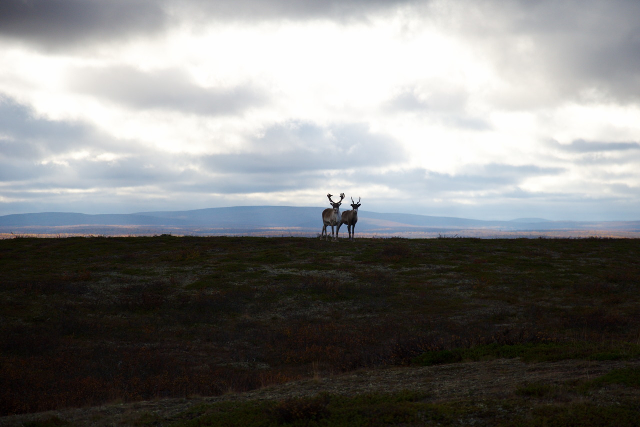
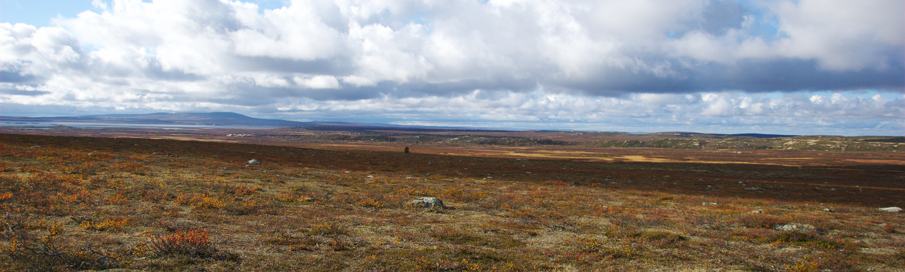
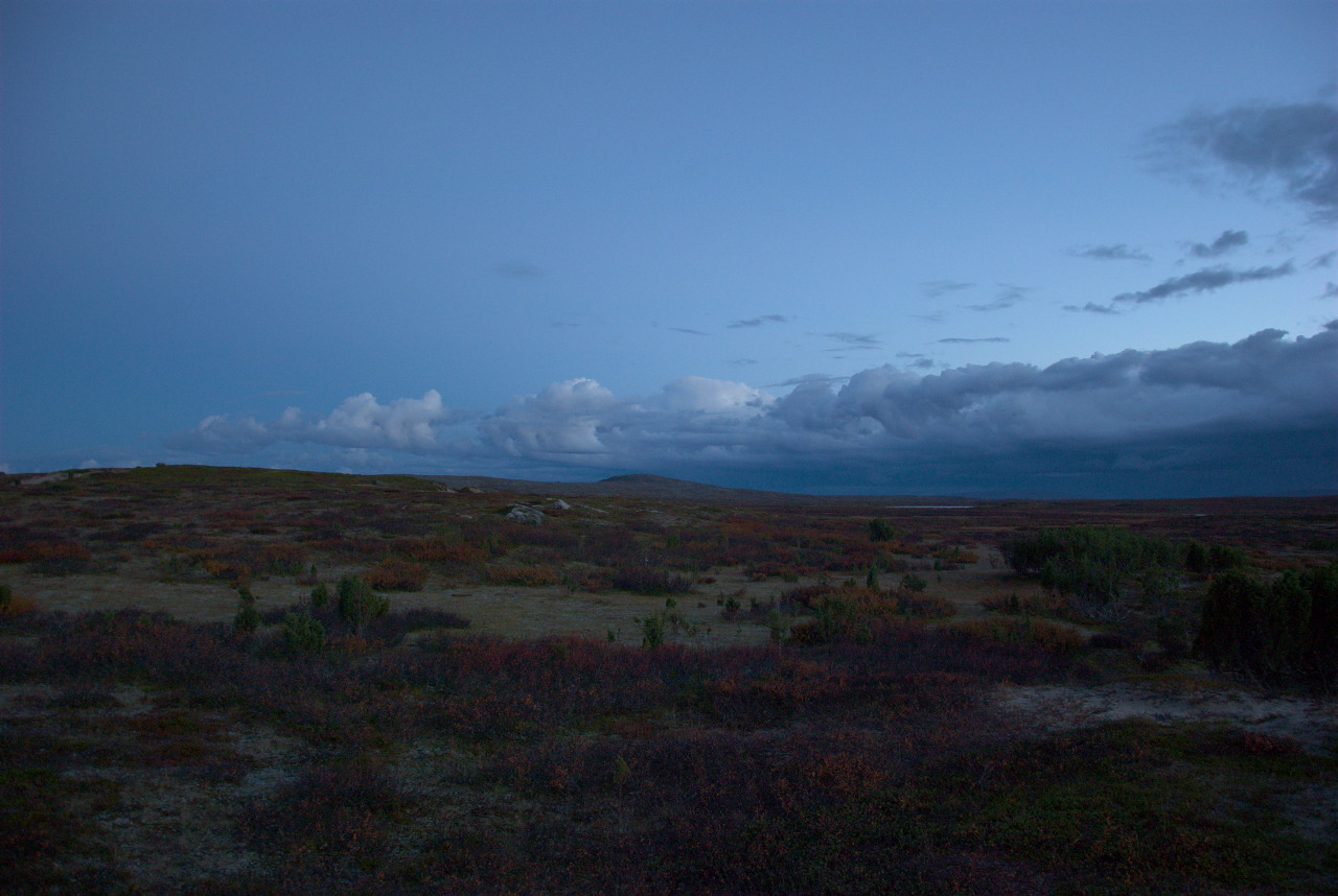
After leaving Naltijärvi (the last open wilderness hut before coming to Pöyrisjärvi) our plan was, to follow not the trail straight through the wilderness area, but to go further North, where one trail goes along the reindeer fence, which separates the Norwegian and the Finish reindeer districts, and thus approximately follows the border between those two countries. This trail brought us – after another day of hiking through these fairyland forests – into the tundra area, where the complete absence of trees opened up a wide landscape, with views over far distances into an human-empty space. Well OK, before we left the forest we met four reindeer herders who just returned from their work, but that were the last people we saw for a week.

Crossing the tundra along the reindeer fence however also revealed an anthropogenic impact on the vegetation, since some socio-economic differences between the two neighboring countries become visible through this fence: While in Norway the reindeer districts are covering large areas, from the Finnish border to the sea, the Finnish reindeer districts are rather small and – unlike in Norway and Sweden – don’t reflect the natural migration routes of this species. Thus, the grazing pressure in Finland (where feeding reindeer in winter is not uncommon) is much higher than in Norway. This becomes very visible here, along the fence: On the Finnish side, the lichen (the very important, natural winter and spring footage for reindeer) is almost eaten away, while on the Norwegian side the white of the (rich appearing) lichen is clearly visible in the landscape.
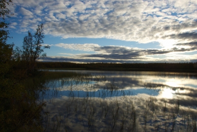
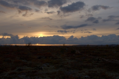
Fishing & the Fog

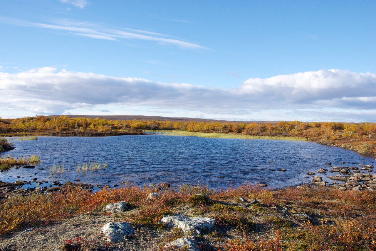
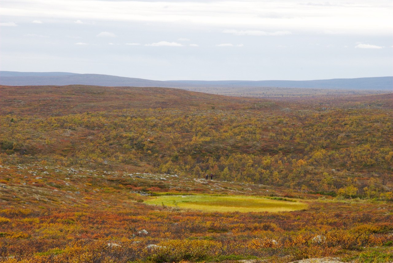
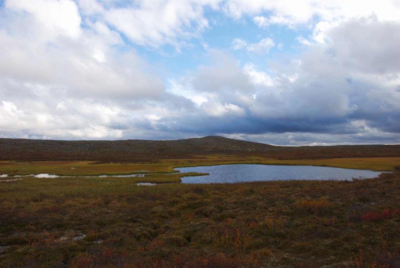
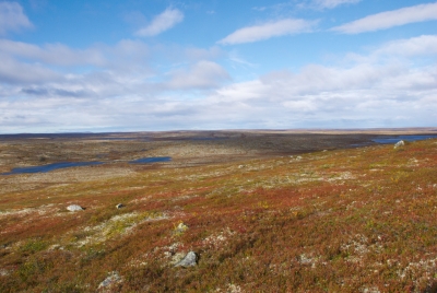
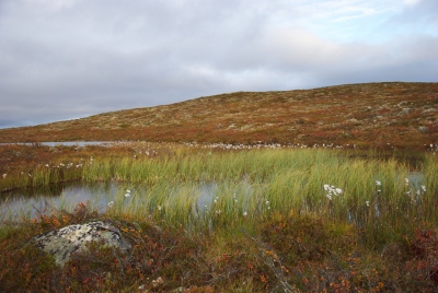
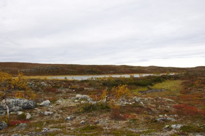
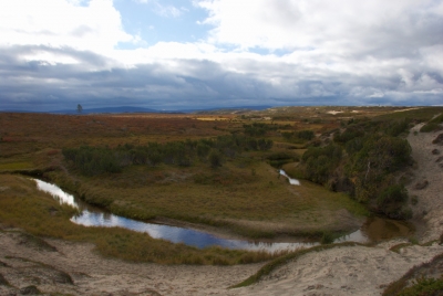
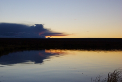
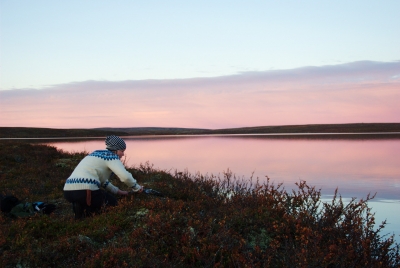
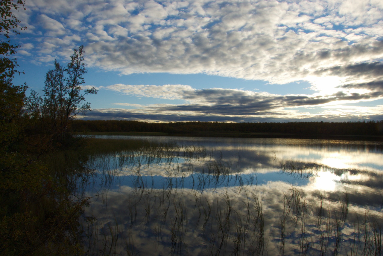
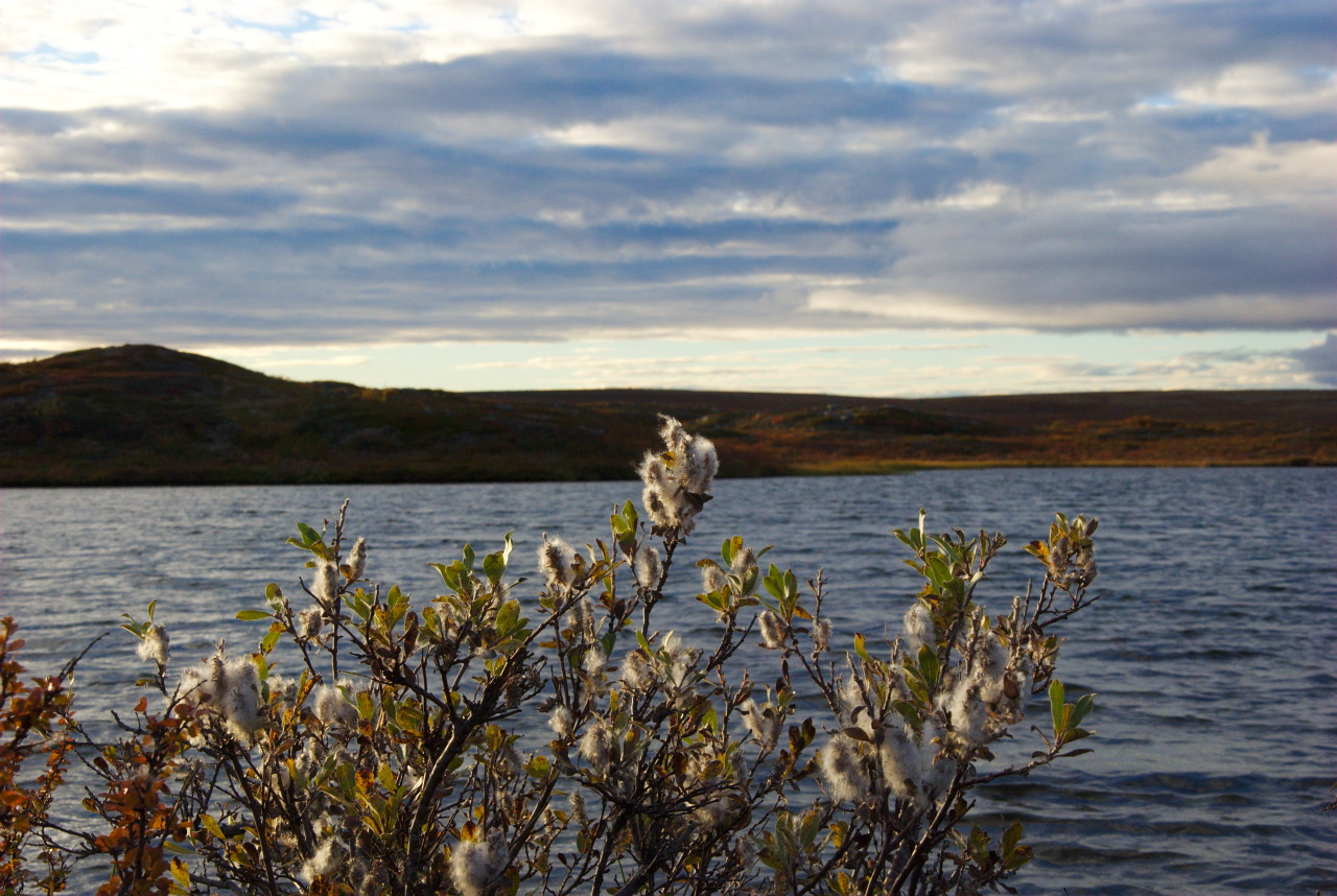
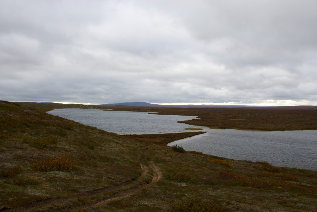
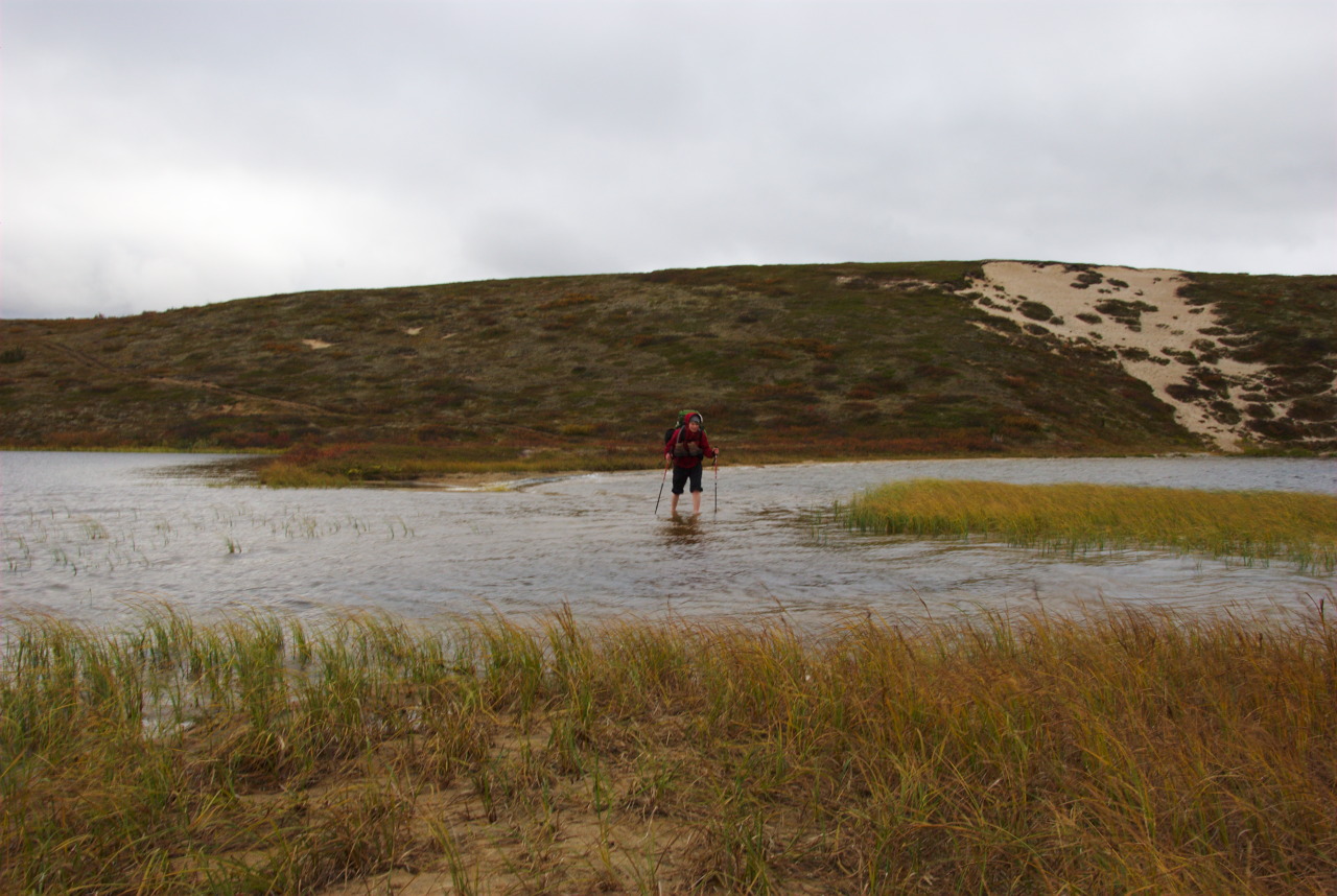
Absolutely not in a hurry, we enjoyed our hike through this smooth and colorful environment, where we found every day most wonderful camping grounds for ourselves. After two days of only tundra, we came closer to Haukijärvi, the place where the two trails leading through the wilderness area come together again. For other hikers maybe worth mentioning, that at this place there is also a small and old hut from reindeer herders, which is open and has a note written inside, that it would be allowed to sleep in the hut. Nevertheless, we decided to just walk a little bit further, to the next lake, and place our tents there for two nights. As in the meantime our supply of fresh food has been consumed, it was time to activate our fishing gear to avoid using dehydrated hiking food. Having no success in the small lakes around us, we decided to use the next day to walk a few kilometers to the little bigger Rautujärvi, to try our luck there.

And luck was, what we would have needed. Not just to catch some fish, but to find the lake! It was again a rainy day and very, very foggy. Looking at the map, we decided to simply follow the reindeer fence, until we would arrive at the lakes effluent. So far so good. But from this point to the – through the thick fog slightly visible lake, we had to cross swamp area. Without rubber boots there was no way through, so we tried to walk around the swamp. With a visibility range of maybe 20 to 30 meters max, not an easy undertaking. So we tried. And tried. And tried. After maybe two hours (could have also been one or three, we would have had no idea, as we didn’t have a watch with us) of jumping through the swamp, we canceled the project “Catch Fish in Rautujärvi” and went over to plan B: “Find Cloudberries in the Swamp.” As it was already mid of September, also not a plan that was blessed with success, but at least a good way of still having fun that day. Almost empty-handed (I think we had six wizened and poor tasting cloudberries, even though the swamp was full of leaves from that plant) we headed back to our tents, blindly following compass & maps.
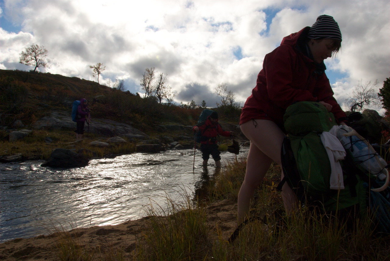
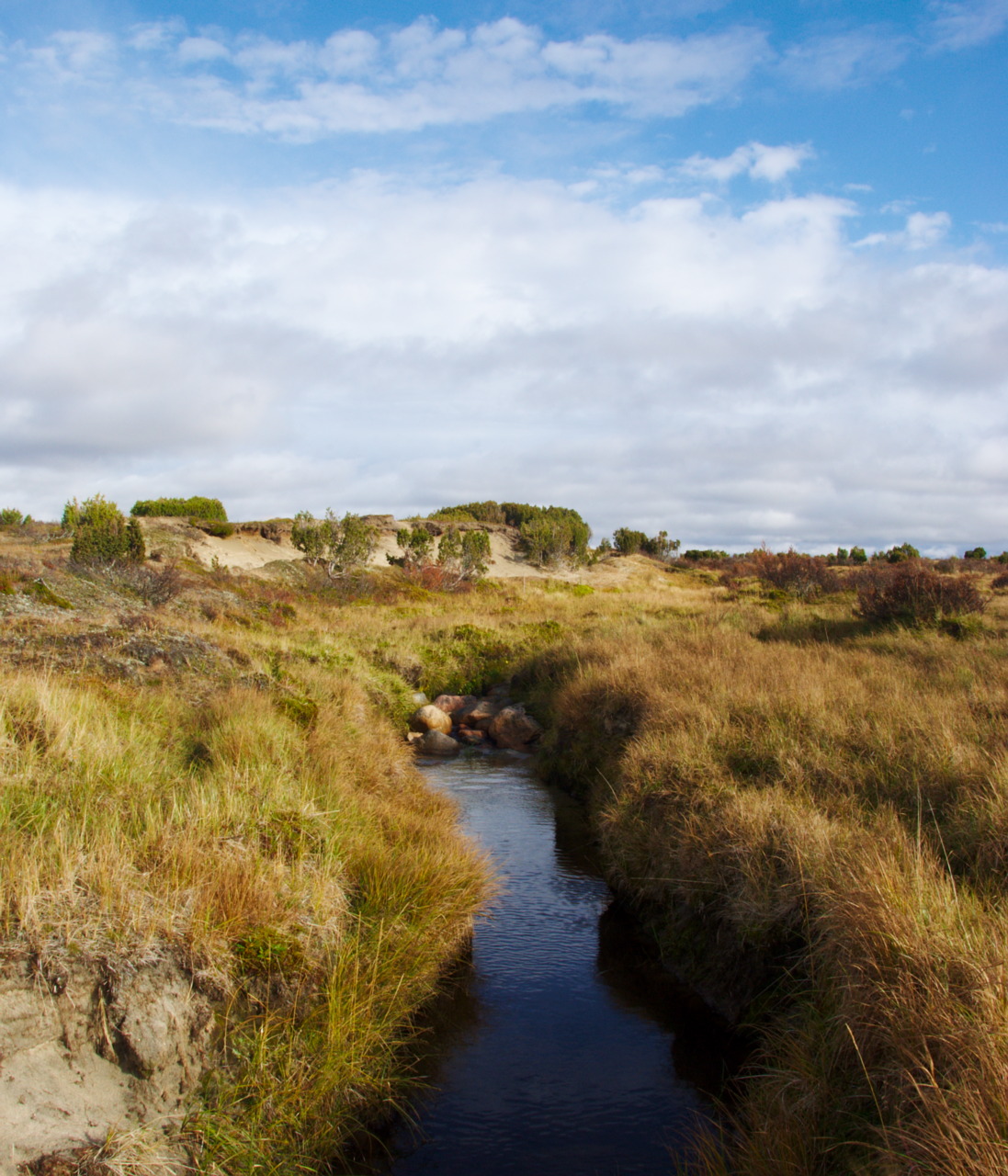
Rain and Other Waters: Crossing Suomajoki

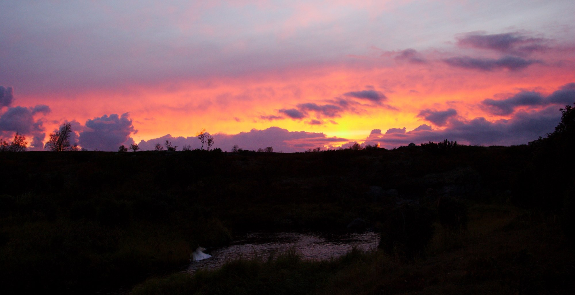
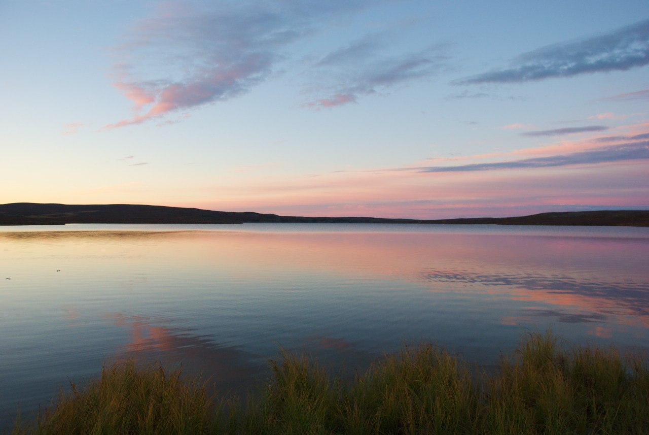
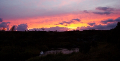
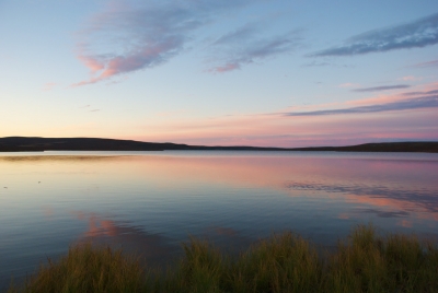
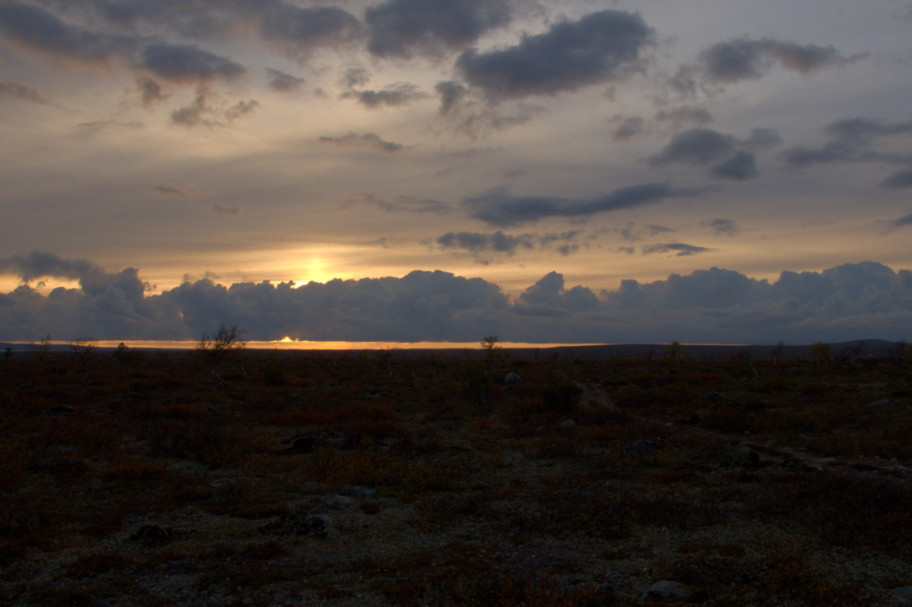
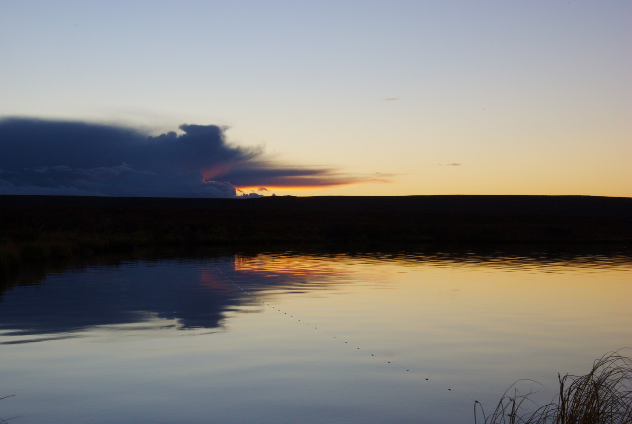
With completely soaked clothes from the day before we started the next day to continue our trip further towards Pöyrisjärvi, although the lake wasn’t our target yet. That the clothes and shoes were still wet didn’t matter at all, as we went through heavy rainfall when we crossed the highest elevated point in the area, the Valkamapää mountain. Just as we came down from there and crossed a place with some huts and infrastructure from reindeer herders (it almost felt like being back in civilization), the rain stopped and sun came out again. After days of cloudiness and rain, I got so motivated from the little bit of sun shine, that I even took of my shoes for crossing a ford there (OK, i wouldn’t have walked with the boots through the river anyway ..), and continued through another swamp to the lake Njágajávri, where we had a short break, enjoying the dark blue sky where just a short time ago dark clouds isolated the ground and us from direct sun light. Maybe we should have kept the break shorter (even though it wasn’t that long), because we arrived at our day target late in the dawn. However, I felt really good when realizing, that we just arrived at one of the most wonderful camping grounds I have ever slept so far. Sitting by the river Suomajoki and enjoying a very colorful sunset, we tried to dry our shoes at the campfire and prepared some good meal.

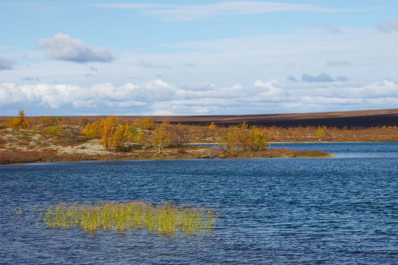
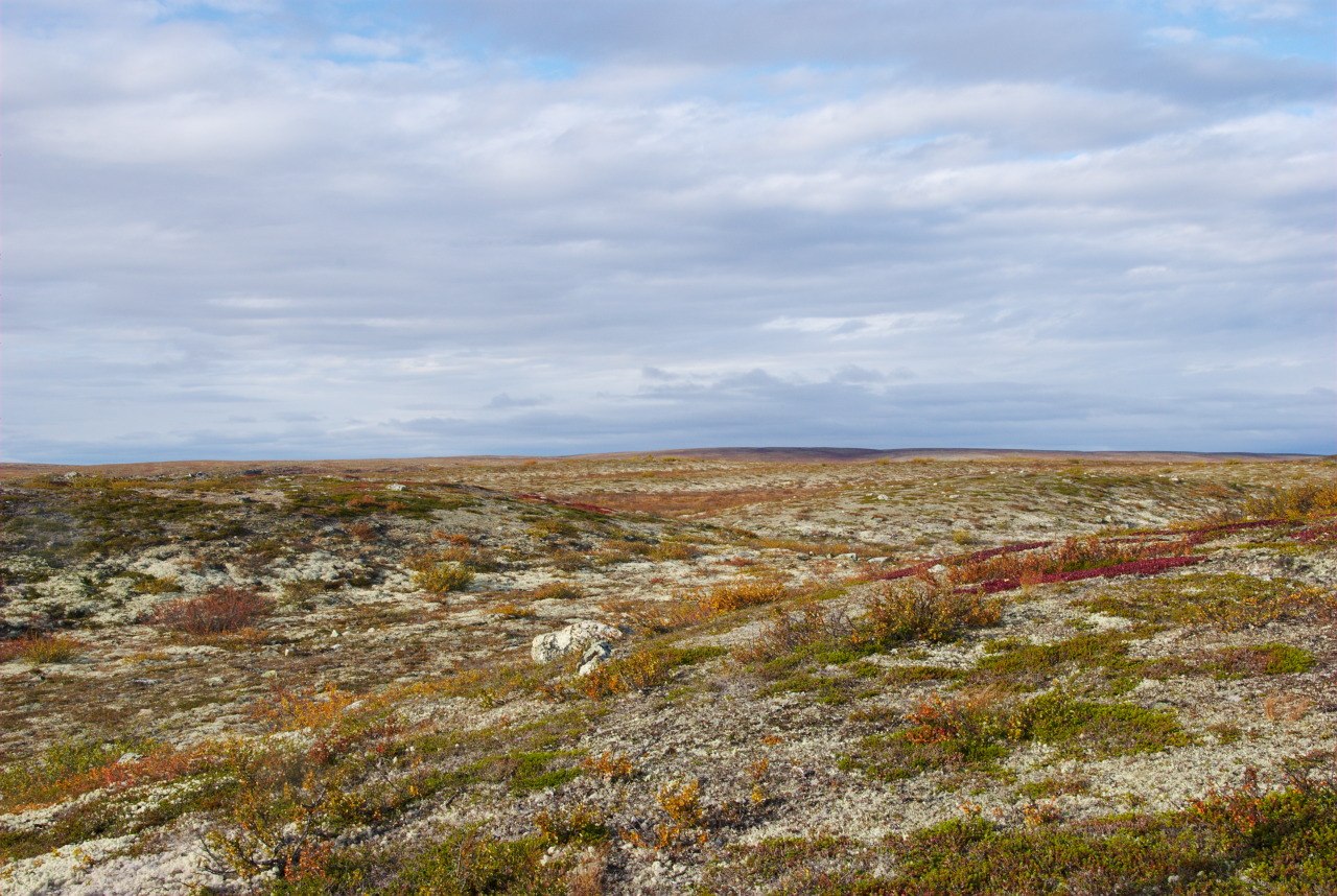
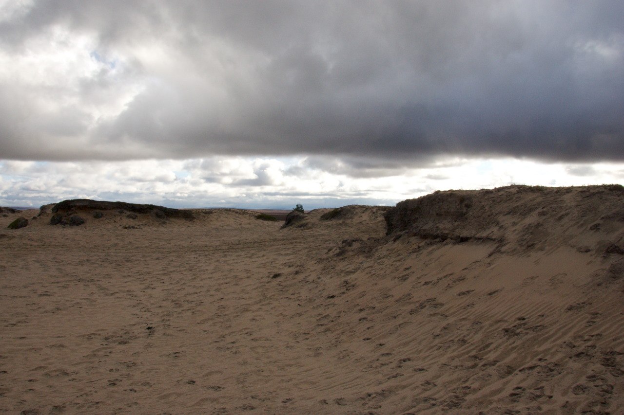
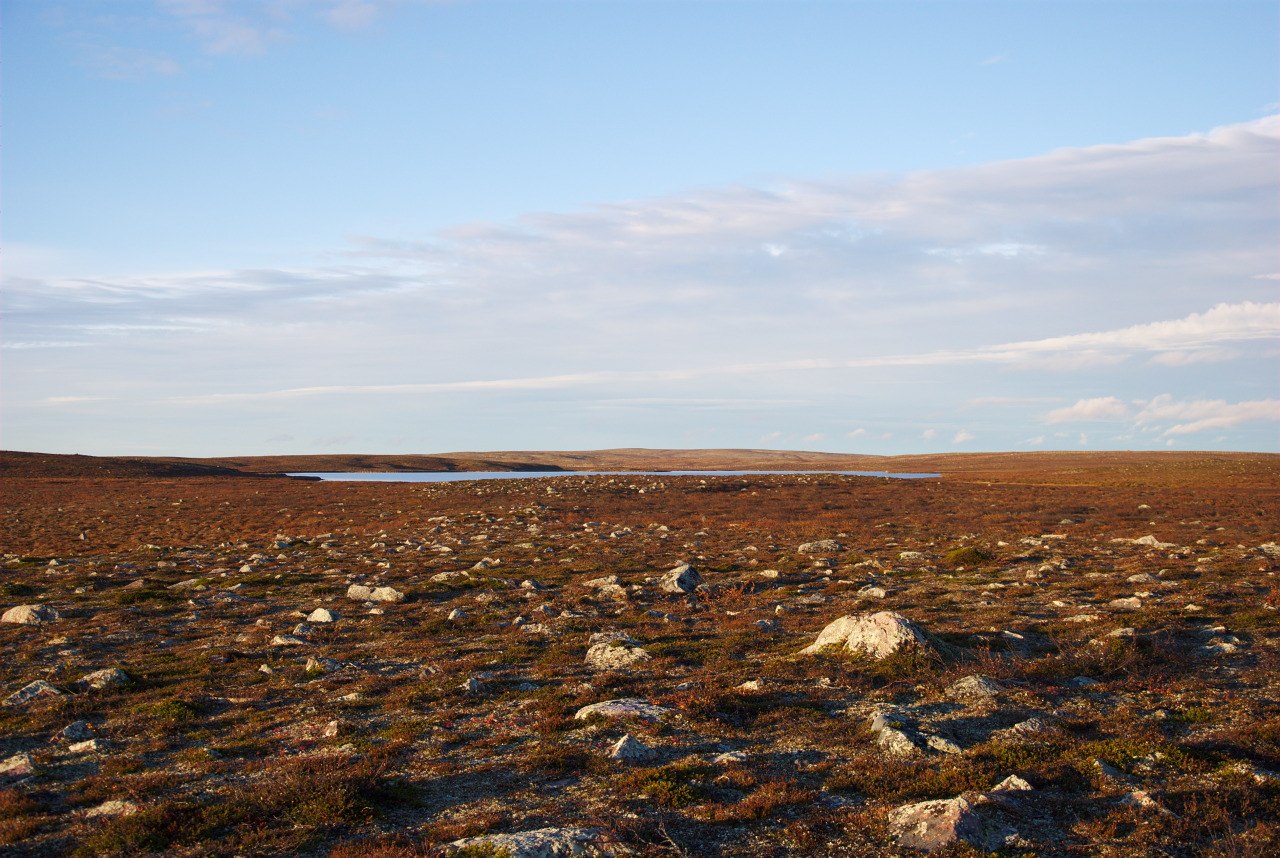
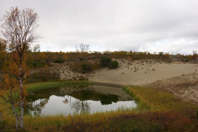
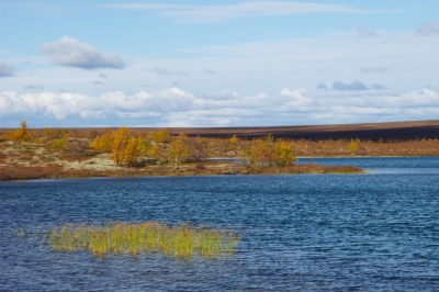
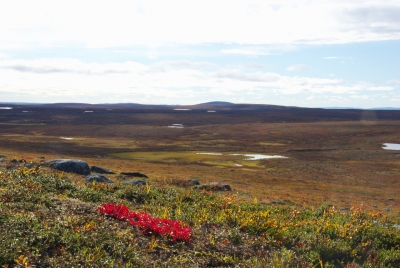
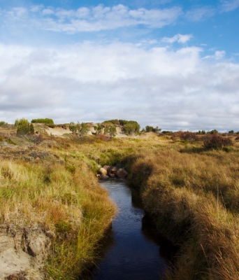
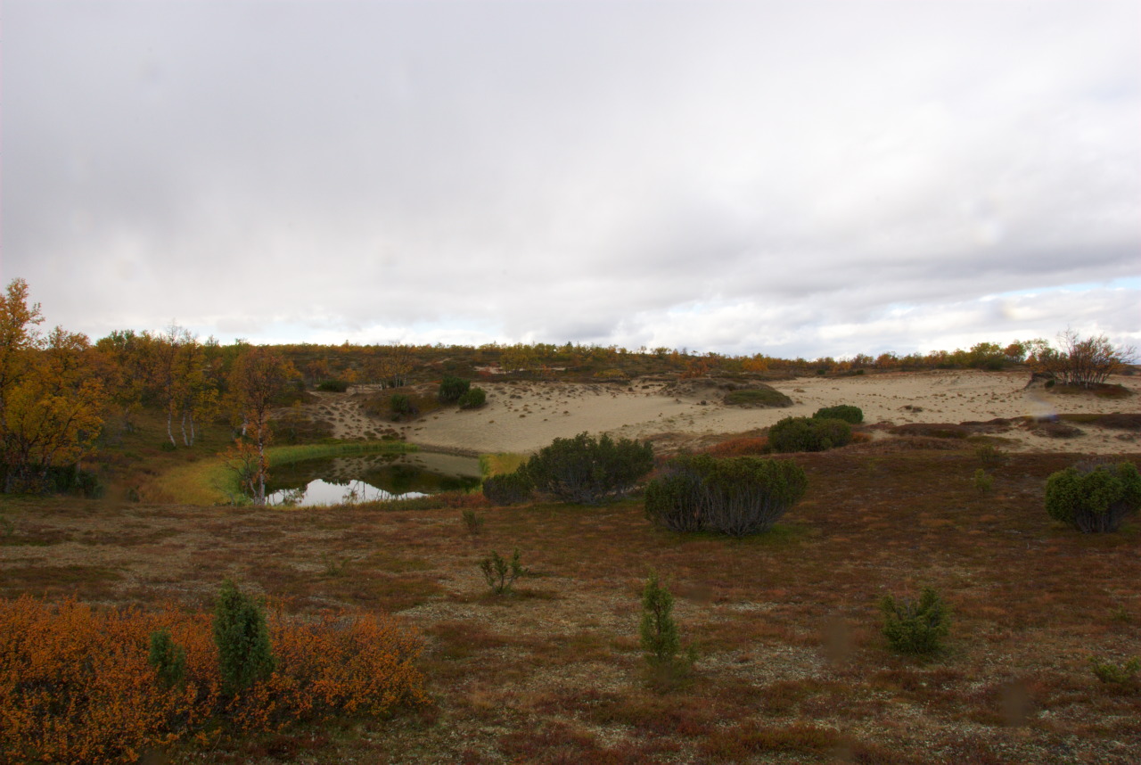
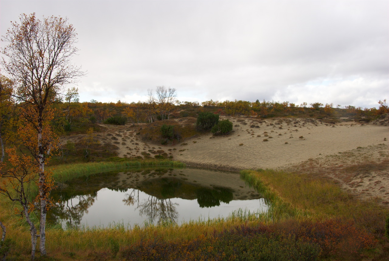
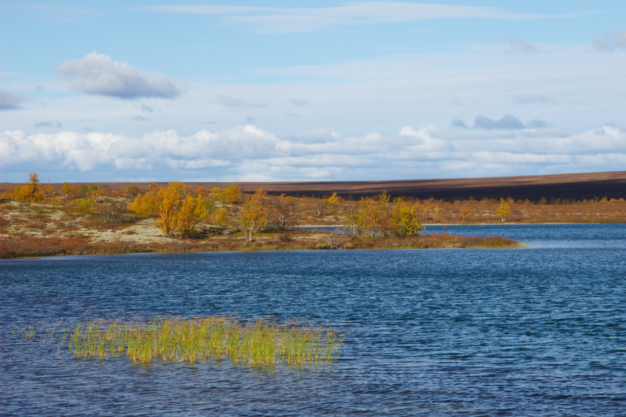
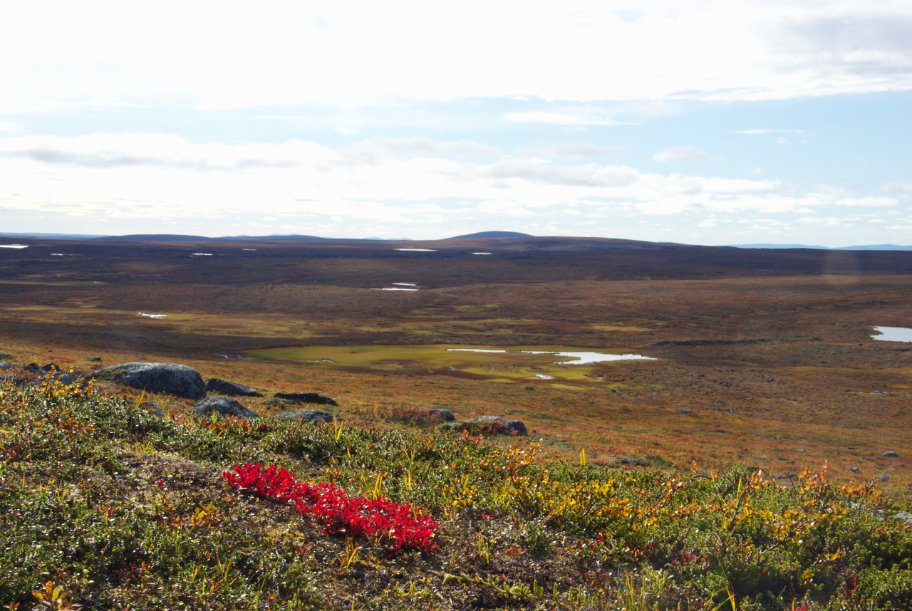
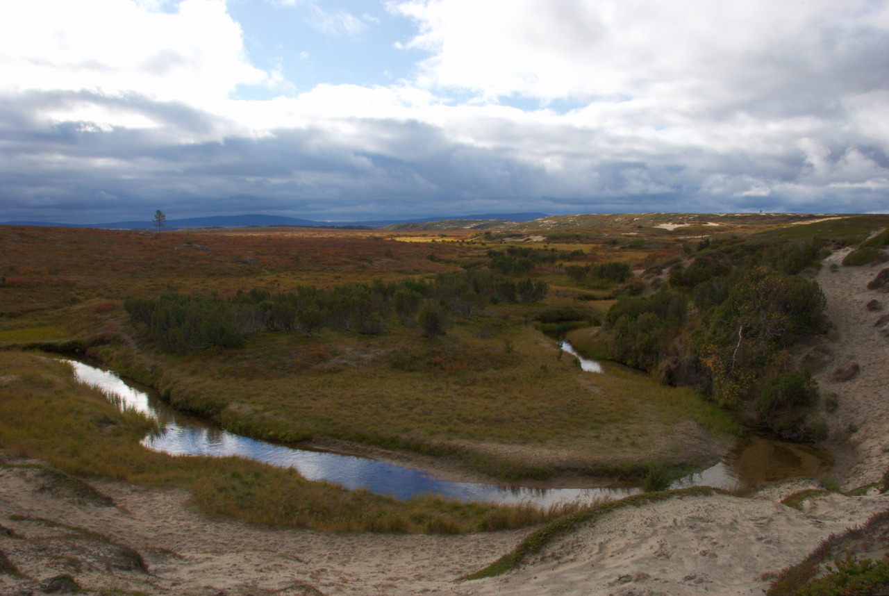
Starting the day by crossing a ford really wakes you up, but doing that in sunshine is a true pleasure. The next day brought us close to Pöyrisjärvi, and for the first time on our hike we could spot the lake somewhere on the horizon. But our planned trip directed us once again further North, to reach the fishing grounds of Maaterjärvi and Salttijärvi, close to the Norwegian border. This day brought us across some big sand dunes, which where part of those things, we were really keen to see. Not for the first time on this trip the brooks and ponds in-between the sand dunes looked like amazing oases! With pleasure we refilled our water bottles and continued, until – just after crossing a lake through a ford – the trail finally ended. I enjoyed this moments very much, as I remembered the beautiful time I have had on earlier trips, which were in the absence of trails. We reached the tundra again this day, and – since we had good weather again – it was easy to find our way to our next destination. At Maaterjärvi we decided to build up our tents in the wind shadow of another sand dune, and again unpacked our fishing equipment.
More Successful Fishing North of Pöyrisjärvi

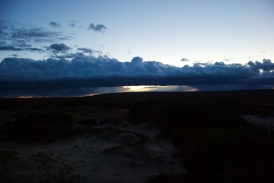
The next three days were dedicated to fishing. Even though we have not been as successful as we hoped we would be, staying busy with fishing helped us a lot to ignore the clouds, fog and rain, that dominated the weather conditions. On the last day of our stay there however, late in the afternoon, the clouds suddenly disappeared, and most delightful sunshine motivated us to use the few hours left before darkness would come again, to try our fishing luck at Salttijärvi. Almost as if a pike would have waited for us, right after the arrival with one of the first few attempts, we recovered the fish from the cold wetness of the lake and dried and warmed him up over our campfire. It was also a necessity to give my boots the same treatment, after I – on the way back to our campsite – tried to cross a deep swamp in the Jesus style (unsuccessfully, not to mention ..). Luckily we found a pile of old fire wood that was rotting not far away from our tent and which allowed us a bigger fire. I welcomed this very much: Since my socks and shoes have been drying by themselves, I needed the fire to warm up my bare feet, while watching really amazing northern lights, that were dancing above our heads for at least an hour. Oh yess, I already missed them. It was the first time I spotted them this year, since the long Arctic day has passed by, and darkness took over night again. So while enjoying northern lights, warming up my feet and frizzling some pike, I was already dreaming of a hopefully remaining clear sky till the morning, because the water on the tent was frozen since our return and thus not willing to leave the textile by evaporation anymore.
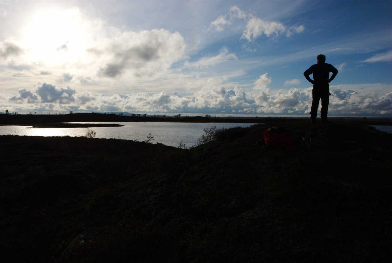
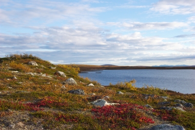
Finally Reaching Pöyrisjärvi

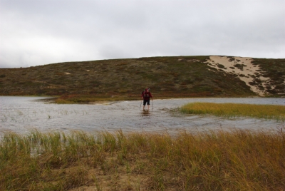
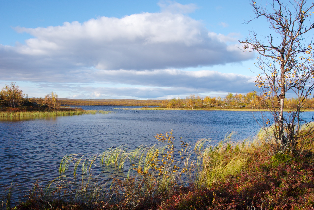
Dream as much as you want, the weather responsible staff (like those meteorologist guys ..) must have thought; because the next morning started with: Rain! Again! Nevertheless we left the most wonderful vicinity of Maaterjärvi, and carried our water soaked equipment all the way down to the Pöyrisjärvi autiotupa, where we hoped to finally get our gear dry again (At least later that day, sun came out again). After we forded Pöyrisjoki (the effluent of this huge lake) and saw the – yet narrow but lovely beach, we thought, from now on it will be an easy hike and we’ll reach the open wilderness hut in no time. – WRONG! – It turned out to be a very exhausting part, to get around the lake. Most of the time, the shore consisted of a very narrow layer of very tightly grown shrubs and bushes, with the lake on the one and swamp on the other side. However, we made it through there and arrived already tired at the first huts, that suggested to come close to the autiotupa. However, it took us some time to realize, that finding the way to the autiotupa we first had to find (and use) a self-made ferry, that seemed well hidden for us. Nevertheless, we (once again) reached our day target with the last remainder of (twi-)light.

We knew, that basically this was the exit of the wilderness area hike. In the surroundings of the autiotupa, a number of private houses and huts leave the impression of being in a small village. It becomes quite visible, that to this point there is much more traffic than any further: More quad bikes, mountain-bikers and hikers. The Pöyrisjärvi autiotupa is also build in a spot, that doesn’t make it necessary to cross any fords to reach it from the village Näkkälä (to where it is also possible to go by car). Just a few meters next to this hut however, for hikers the continuation on the trail requires getting wet feet. Anyhow, as long as you walk through the lake instead of the river (at least at this point), your clothes are safe – if you willow your trousers just above your knees.
The Way to Näkkälä and the End of Ruska

Leaving Pöyrisjärvi and after having been in the tundra for several days, we realized, that ruska already had come to its end. Most of the birch trees along the way had already lost their leaves and were blankly waiting for the arrival of winter. From the autiotupa then it was a very easy hike towards Näkkälä, where asphalt roads and regular cars most obviously stopped the feeling of being in a hiking area, even though the village is rather small and just on the other side of the lake (Näkkäläjärvi) the hiking trail continues and leaves another 26 km of wonderful hiking through the forest. Since half of our group had to use motorized road transport back to Hetta, the last part of the hike had to be accomplished in the small group of two. Well, the two of us had time enough that afternoon to visit an acquaintance who lives in Näkkälä, and who most friendly and gratefully welcomed us at his home for a short beer break, before we departed towards South. With the visit the most friendly and generous offer came along, to activate the boat in the backyard, and to give us a ride to the Southern shore of the lake, where the hiking trail also comes by. Thanks a lot for the nice ride and the interesting stories and information about the place and the lake!
No Biking, Just Hiking – From Näkkälä Back to Hetta

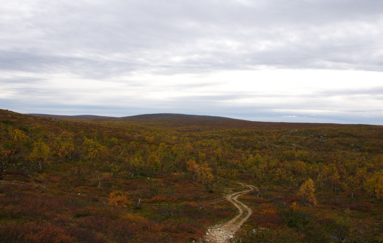
Having saved about four kilometers of walking, we continued our hike to the Näkkälän välitupa, another open wilderness hut (which is located between the villages of Näkkälä and Hetta). Even though we got the ride over the lake Näkkäläjärvi, the achieved day distance still had made us tired enough to quickly fall asleep there. Exhausted and maybe also with some mixed feelings, the next morning was going to be our last morning on this hiking trip. Since I knew already a good part of the area we still had to cross, the excitement dropped down, and very tiredly I carried my backpack for the last few kilometers towards home. The most amazing experience that day was (after experiencing something similar in the Pallas-Hetta hike) to recognize another clear vegetation border: Between the autiotupa and Hetta, at some point, suddenly pine trees are sprouting out of the ground. Suddenly the picture of the forest was a complete different one, the ground looked otherwise and the smell changed. I wouldn’t have expected such a clearly visible line of the Northern boundary of a certain species. I think, this also makes the hike (or bike) between Hetta and Näkkälä somewhat special, by which I don’t mean, that it wouldn’t be a beautiful area anyway.
Résumé
After criticizing the Pallas-Hetta hike in one of my latest blog entries, this trip generally revealed opposite feelings. Even though compared to other wilderness areas I have been hiking before, here still is a lot of infrastructure (due to the business of reindeer herding). There is a clearly visible trail from the East to the West (or actually two), which is wide enough to be used by quad bikes. Unfortunately, wherever quad bikes have left their traces, you will frequently find garbage. Even though you would assume that especially when moving with motorized vehicles it should be easy to take your garbage with you, especially some people who do take advantage of such technologies seem to not care about their waste. Also in the surroundings of some huts (used by reindeer herders), you find a lot of waste. This is absolutely not necessary and it would be my hope, that all people who visit such a wonderful environment (for whatever reason) would take up the responsibility to keep it clean!
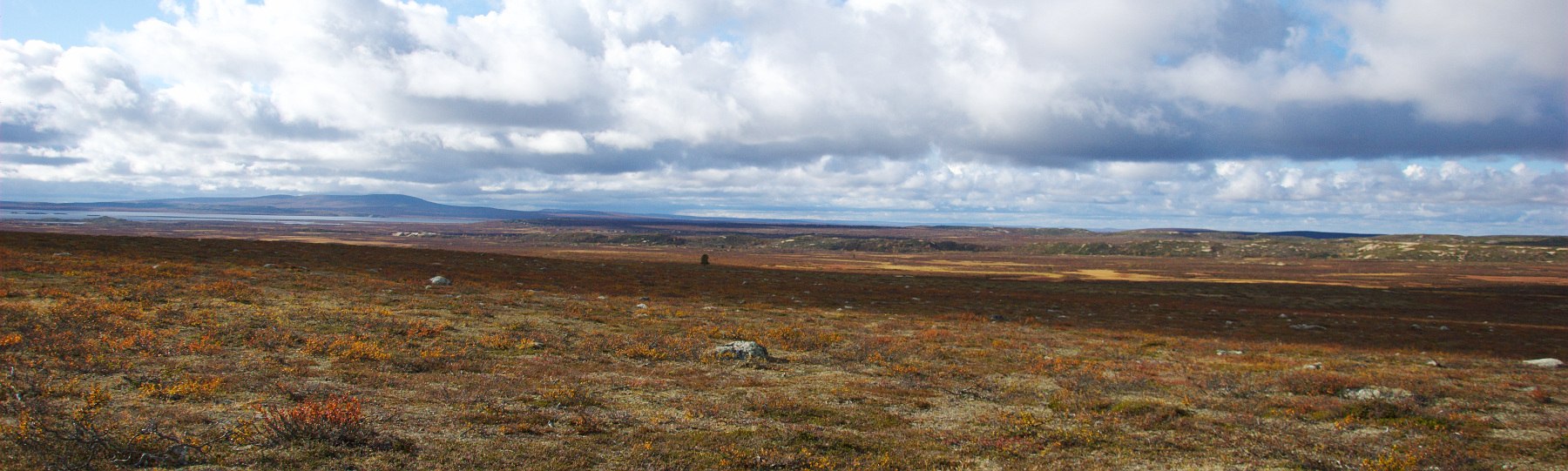
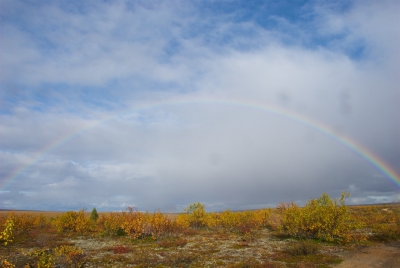
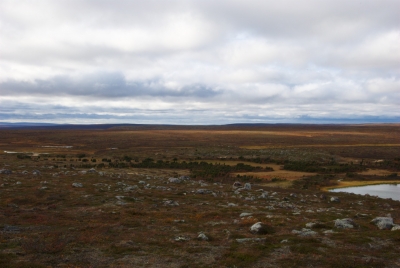
The Pöyrisjärvi wilderness area is a very beautiful part of Lapland, which is rich in different kind of landscapes. Various forests, tundra, wetlands, and many lakes. Even though along the trails you are always reminded on the human impact, the sparsity of other human beings provides a feeling of remoteness and a strong relationship with nature, that won’t be satisfied in national parks where you find one open wilderness hut after the other. We all enjoyed our hike very much, and we are aware of the great luck we had, to hike in this area during the autumn season, when the landscape is most colorful. I am already looking forward to explore the same region again, maybe then with skiers or on the bike. On the other hand, there is no reason to not experience it on foot again!
Picture Gallery