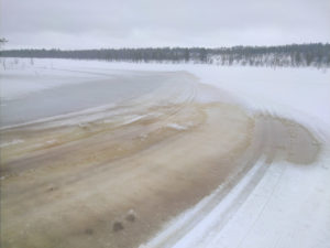
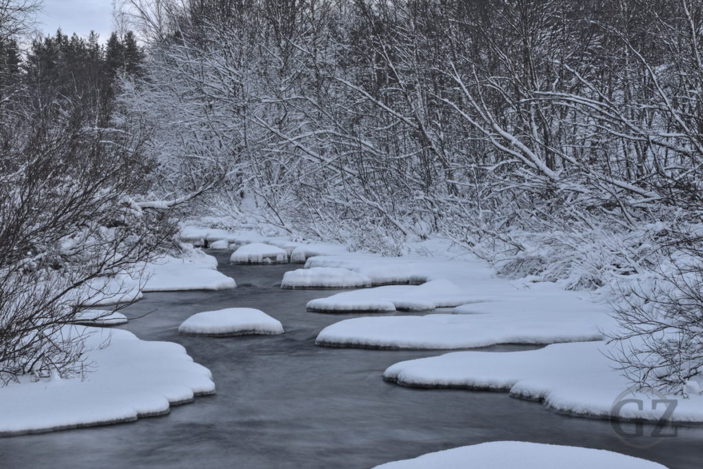
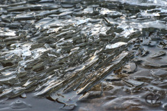
During this rather warm winter, to little surprise, already in March the first warm days (up to plus 6°C) result in snow melt. Unfortunately, this directly affects the skiing tracks, such as in this image, where the tracks literally start to flow away.
The Magic Lights of a January Sunset
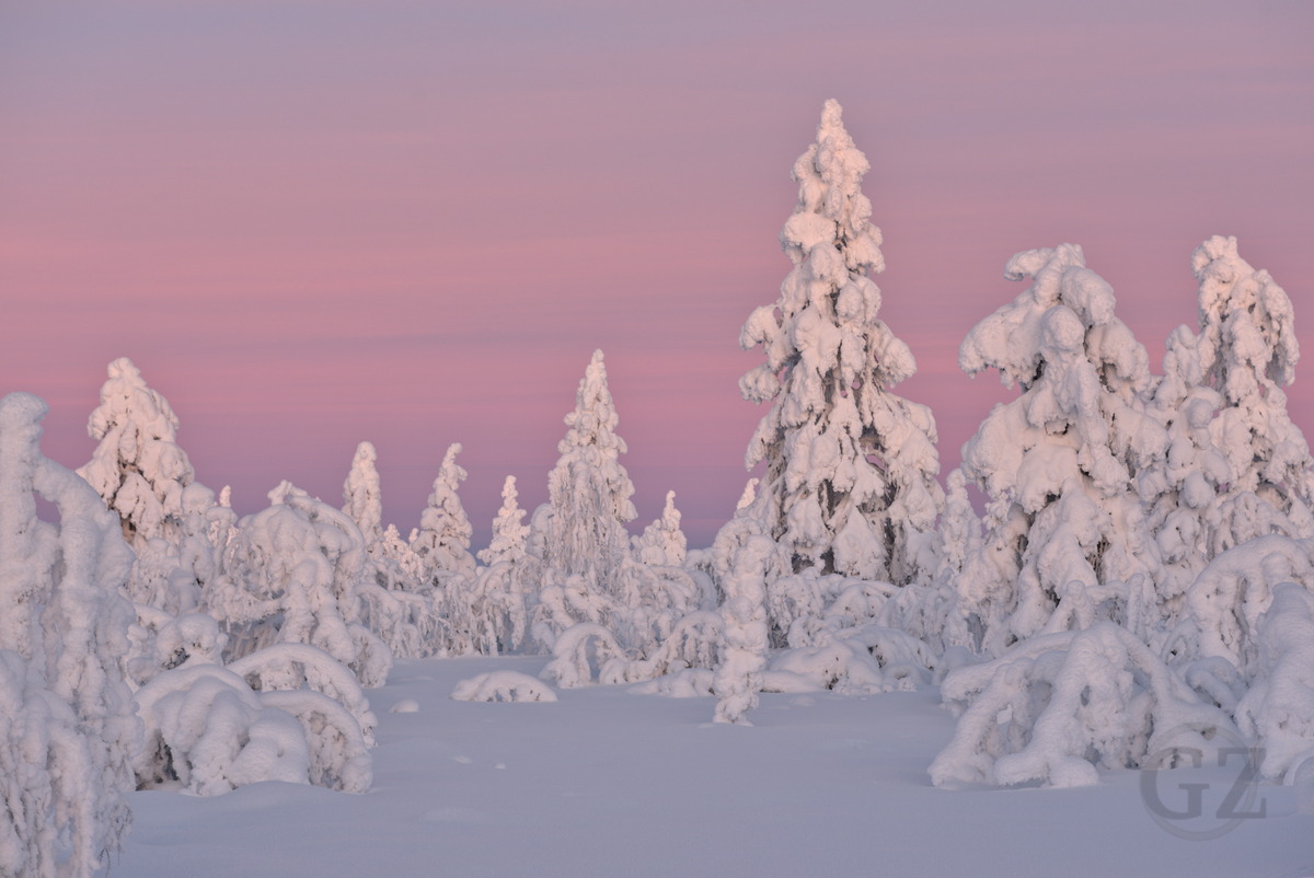
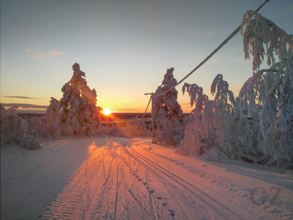
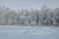
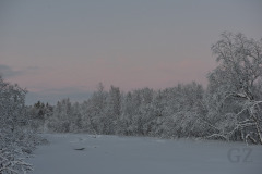
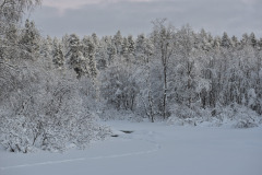
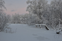
After weeks of polar night and clouds the sky has finally cleared up again. This brings back proper winter temperatures, which forms beautiful snow crystals; And the clear sky brings back sunlight. In combination with the low standing sun, this brings great colours during sunset. Attached a few images from the sunset on Jyppyränselkä, in Hetta.
Continue reading “The Magic Lights of a January Sunset”Picture of the Day: First Sun After Polar Night
Frozen Rapids of Näkkäläjoki
Picture of the Day: Närpistöjoki
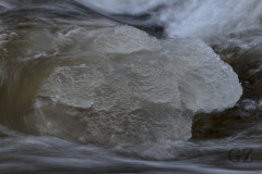
Freezing Rapids in Näkkäläjoki
Ice Remnants on Ounasjärvi Shore
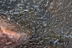
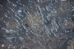
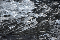
According to long-term statistics from 1981-2010, permanent snow cover in the Hetta area should start during the second half of October. Snow seemed to have arrived on time, however, November brought two storms with warm weather, including rain, that washed away most of the snow. Also the lake which had already frozen, melted up again. Attached a few images from ice remnants floating near the shore, after a warm period during mid November.
